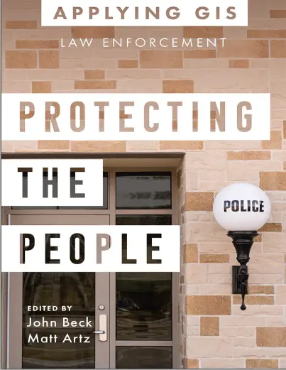
Applying GIS: Law Enforcement Protecting The People
🚓 Applying GIS in Law Enforcement – Protecting People Through Spatial Intelligence
“Applying GIS: Law Enforcement – Protecting the People” is a practical guide that shows how Geographic Information Systems (GIS) are transforming modern policing. It explores how location-based data empowers officers, analysts, and public safety departments to better understand crime patterns, allocate resources, and build safer communities.
This book covers real-world law enforcement workflows such as crime mapping, hotspot detection, patrol route optimization, emergency response planning, gang territory analysis, and predictive policing. It explains how GIS integrates with CAD, RMS, and GPS systems to give agencies a tactical and strategic edge.
This book is ideal for:
- 🚔 Police officers and public safety planners using GIS
- 📊 Crime analysts and intelligence units
- 🗺️ GIS professionals supporting law enforcement agencies
- 🎓 Students in criminal justice, criminology, or urban GIS programs
Whether you’re managing patrol coverage, analyzing neighborhood crime spikes, or planning public safety zones for events, this book equips you with tools and examples to apply GIS for real-time, data-driven law enforcement operations.
Keywords: Crime Mapping, GIS in Law Enforcement, Police GIS, Hotspot Analysis, Patrol Optimization, Public Safety GIS, Spatial Crime Analysis, Predictive Policing Tools


comments
Leave a Reply
Your email address will not be published. Required fields are marked *