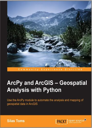
ArcPy and ArcGIS – Geospatial Analysis with Python
🐍 ArcPy and ArcGIS – Geospatial Analysis with Python
“ArcPy and ArcGIS – Geospatial Analysis with Python” is a powerful guide for GIS professionals who want to automate geospatial workflows, perform complex spatial analysis, and harness the full scripting potential of ArcGIS using Python. It bridges the gap between visual GIS tools and full-stack automation with ArcPy.
This book teaches you how to use ArcPy to perform buffer, intersect, clip, spatial joins, batch geoprocessing, feature class manipulation, map automation, and custom tool creation inside ArcGIS. You’ll also learn to write scripts that interact with layers, layouts, tables, and ArcGIS models – all using Pythonic code.
Core topics include:
- 🗂️ Working with feature classes and shapefiles
- 🧮 Running spatial analysis tools programmatically
- 📄 Automating map document and layout exports (MXD, PDF)
- 🧰 Building custom ArcGIS tools using Python
- 🔁 Automating repetitive geoprocessing tasks
This book is perfect for:
- 🧑💻 GIS analysts ready to level up with scripting
- 🛰️ ArcGIS users tired of repetitive clicks
- 🎓 Students learning Python-based spatial modeling
- 🏢 Organizations needing scalable GIS automation
If you want to transform your ArcGIS experience into a Python-powered command center — this is the ultimate scripting bible.
Keywords: ArcPy Tutorial, ArcGIS Python Scripting, GIS Automation Python, ArcPy Buffer Clip Intersect, Spatial Analysis ArcPy, Batch Geoprocessing, Custom ArcGIS Tools, ArcGIS Desktop Python


comments
Leave a Reply
Your email address will not be published. Required fields are marked *