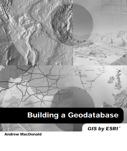
Building a Geodatabase: GIS by ESRI
🗄️ Building a Geodatabase – The Foundation of Smart GIS by ESRI
“Building a Geodatabase: GIS by ESRI” is the essential guide for anyone looking to understand, create, and manage spatial databases using the industry-leading ArcGIS platform. Whether you're transitioning from shapefiles or starting fresh with enterprise GIS, this book walks you through the full process of designing, modeling, and deploying a robust geodatabase structure.
The book introduces key geodatabase concepts such as feature datasets, subtypes, domains, relationship classes, topology rules, and versioning. It teaches you how to model real-world spatial behavior using advanced rules, create efficient data workflows, and prepare your datasets for editing, analysis, and web publishing.
This book is ideal for:
- 🧑💻 GIS developers and data modelers
- 🌐 Organizations migrating to enterprise GIS solutions
- 📚 Students learning spatial database design
- 🏙️ Urban planners, utility mappers, and survey teams
Whether you're building a city-wide infrastructure map or managing environmental zones, this book helps you move from raw spatial data to a structured, governed, and intelligent geodatabase system.
Keywords: ESRI Geodatabase, ArcGIS, Spatial Data Modeling, GIS Database Design, Feature Classes, Topology Rules, Enterprise GIS, Domains and Subtypes


comments
Leave a Reply
Your email address will not be published. Required fields are marked *