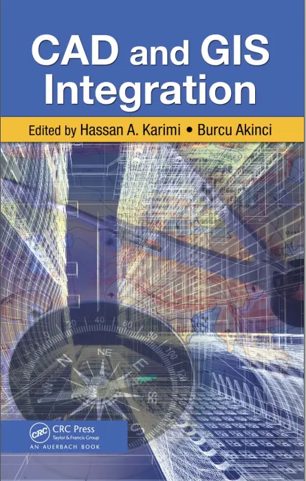
CAD and GIS Integration
🛠️ CAD and GIS Integration – Bridging Engineering Design with Geospatial Intelligence
“CAD and GIS Integration” explores the powerful synergy between Computer-Aided Design (CAD) and Geographic Information Systems (GIS), two foundational technologies shaping the built and natural environments. This integration enables engineers, planners, and GIS professionals to streamline workflows, enhance data accuracy, and make smarter, location-aware decisions.
While CAD focuses on precise technical design (lines, curves, and blueprints), GIS brings in the spatial dimension — allowing for the analysis of those designs in real-world geographic contexts. Together, they offer a unified platform for urban planning, utility management, land records, infrastructure development, and smart city modeling.
Core Topics:
- 📐 Converting CAD drawings to GIS-compatible formats (DWG to SHP, DXF to GeoJSON)
- 🌐 Spatial referencing of CAD data (Geo-referencing and projection alignment)
- 🚧 Managing infrastructure assets in GIS using CAD base maps
- 🏙️ 3D city modeling and BIM-to-GIS workflows
- 🔁 Two-way data exchange: AutoCAD ↔ ArcGIS, QGIS ↔ Civil 3D
Why CAD–GIS Integration Matters:
- 💡 Smarter infrastructure and utility planning
- 📍 Accurate, real-world placement of engineering designs
- ⚙️ Improved collaboration between surveyors, engineers, and GIS analysts
- 📊 Enhanced asset management, maintenance, and spatial queries
This integration is crucial for modern engineering projects where technical drawings need to align with geographic reality. Whether you're laying pipelines, designing road networks, or planning urban growth, CAD-GIS synergy ensures you don’t just build — you build smart and spatially aware.
Keywords: CAD GIS Integration, AutoCAD in GIS, DWG to SHP, Spatial Data Conversion, Civil Engineering GIS, Infrastructure Mapping, GIS and BIM, Urban Planning Tools, CAD to GIS Workflow, Smart Cities GIS


comments
Leave a Reply
Your email address will not be published. Required fields are marked *