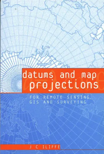
DATUMS AND MAP PROJECTIONS: for remote sensing, GIS, and surveying
🗺️ Datums and Map Projections – The Backbone of Accurate GIS, Remote Sensing & Surveying
“Datums and Map Projections: For Remote Sensing, GIS, and Surveying” is a foundational book for understanding the invisible frameworks behind every accurate map. This book demystifies complex spatial concepts like coordinate systems, geodetic datums, and map projections — which are essential for aligning real-world geography with digital data.
Whether you’re dealing with remote sensing imagery, survey-grade GPS, or GIS datasets, even the slightest error in datum or projection can lead to serious misinterpretation. This book explains the science behind ellipsoids, transformation techniques, scale distortion, and the selection of the right projection for the job.
Best suited for:
- 🎯 GIS analysts working on cross-platform data integration
- 📐 Surveyors needing precise geodetic alignment
- 🛰️ Remote sensing professionals rectifying satellite imagery
- 🎓 Students and educators in geodesy, cartography, and geoinformatics
Filled with practical diagrams, real-world use cases, and clear explanations, this book is a must-have reference for anyone who wants to avoid projection pitfalls and produce geographically accurate, distortion-aware maps and models.
Keywords: Map Projections, Geodetic Datums, Coordinate Systems, Spatial Accuracy, Remote Sensing Rectification, Surveying Coordinates, UTM, WGS84, GIS Transformations


comments
Leave a Reply
Your email address will not be published. Required fields are marked *