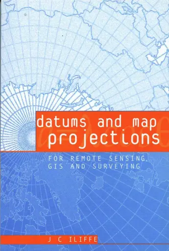
DATUMS AND MAP PROJECTIONS: for remote sensing, GIS, and surveying
"Datums and Map Projections: For Remote Sensing, GIS, and Surveying" by Jonathan Iliffe is a comprehensive guide that explores the fundamental concepts and techniques related to datums and map projections. This book serves as a valuable resource for professionals and students in the fields of remote sensing, geographic information systems (GIS), and surveying.
The book begins with a preface and acknowledgments, followed by an introduction that establishes the background and importance of coordinates and datums in these disciplines. Chapter 1 delves into two- and three-dimensional coordinate systems, covering spherical and spheroidal coordinates, as well as Cartesian coordinates.
In Chapter 3, the author discusses the geoid and reference surfaces for height measurement, providing insights into the complex nature of height determination. The following chapter explores global, regional, and local datums, including their distinctions and applications.
One of the central topics covered in the book is the Global Positioning System (GPS). Chapter 5 introduces GPS, provides a system overview, and discusses various positioning techniques, such as using codes and differential GPS. The chapter also explains GPS phase measurements, which are crucial for precise positioning.
Datum transformations are explored in Chapter 6, focusing on the knowledge required for accurate transformations, including separation, height, and datum transformation parameters. The author emphasizes precise datum transformations for specific applications.
The fundamentals of map projections are thoroughly explained in Chapter 7. The concepts of spheres, spheroids, grids, and graticules are covered, along with important considerations like scale factor, developable surfaces, preserved features, and computational aspects. The chapter also touches on the process of designing a projection.
Chapters 8 to 10 delve into specific types of map projections, including cylindrical, azimuthal, and conic projections. Each projection type is discussed in detail, with examples and explanations of their characteristics, such as equidistant, equal area, and conformal properties.
Chapter 11 provides a summary of the information required for working with map projections, presenting formulas and parameters that are essential in practical applications. Chapter 12 focuses on direct transformations, discussing the compatibility of coordinate systems, ground control, plane transformations, and measuring from maps when projections are unknown.
The book concludes with case studies in Chapter 13, showcasing real-world examples of datum and projection applications. These case studies include transforming GPS data into a local datum, creating a projection for Australia, establishing maritime boundaries on a projection, and performing two-dimensional transformations of satellite imagery and GPS data.
"Datums and Map Projections" is a comprehensive reference that equips professionals and students in remote sensing, GIS, and surveying with the knowledge and tools necessary for understanding and working with datums and map projections. Through its systematic approach and practical examples, the book facilitates a deeper understanding of these critical concepts in spatial data analysis and visualization.
comments
Map projection is one of the methods of map transformation from 2D to 3D or from 3D to 2D!
J'en veux
Leave a Reply
Your email address will not be published. Required fields are marked *