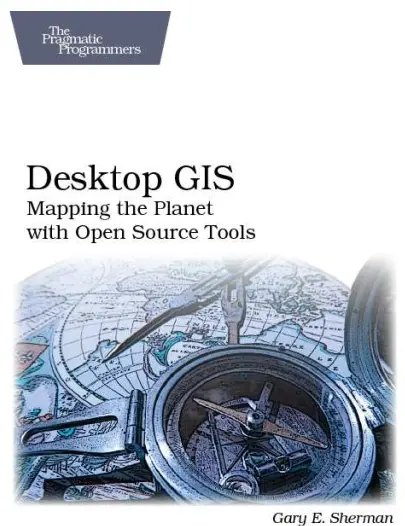
Desktop GIS: Mapping the Planet with Open Source Tools
💻 Desktop GIS – Mapping the Planet with Open Source Tools
“Desktop GIS: Mapping the Planet with Open Source Tools” is a comprehensive guide that introduces readers to the world of professional-grade GIS using open-source software. It breaks down the myths that powerful spatial analysis requires expensive tools — showing how platforms like QGIS, GRASS GIS, GDAL, and gvSIG can do it all and more.
Covering data visualization, spatial querying, raster processing, cartographic design, and geoprocessing workflows, this book is a practical roadmap for using free tools to perform advanced GIS analysis — from local mapping projects to global-scale research.
This book is ideal for:
- 🧑💻 GIS learners exploring beyond proprietary software
- 🌍 NGOs and researchers with limited budgets
- 🗺️ Planners and developers working in open data environments
- 🎓 Students and educators promoting open-source learning
“Desktop GIS” proves that powerful geospatial work can be done without breaking the bank. With tutorials, tool comparisons, and real-world examples, it's your go-to reference for mastering open-source mapping tools.
Keywords: Open Source GIS, QGIS, GRASS GIS, Free GIS Software, Desktop Mapping, Spatial Analysis Tools, GIS Without ArcGIS, GDAL, Open Geospatial Tools


comments
Leave a Reply
Your email address will not be published. Required fields are marked *