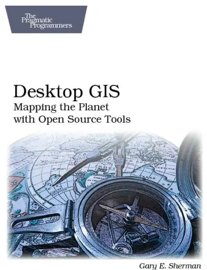
Desktop GIS: Mapping the Planet with Open Source Tools
"Desktop GIS: Mapping the Planet with Open Source Tools" by Gary E. Sherman provides a comprehensive guide to desktop mapping using open-source tools. The book begins with an introduction that explains the concept of desktop mapping and distinguishes it from server mapping. It also highlights the importance of assembling a toolkit and explores other mapping options available.
In the first chapter, the author helps readers get started by categorizing users into three classes and guiding them in choosing the right platform and toolkit based on their needs. The chapter also covers topics such as acquiring and installing software, integrating different tools, managing software changes, and finding support. It concludes with information on where to find data and suggests the next steps for beginners.
The subsequent chapters delve into specific aspects of desktop GIS. Chapter 3 focuses on working with vector data, including viewing, rendering, and analyzing attribute data. Chapter 4 shifts the focus to raster data, explaining how to view and improve the rendering of raster data.
Chapter 5 explores digitizing and editing vector data, covering techniques for simple digitizing and attribute data editing. The book then moves on to discuss different data formats in Chapter 6, providing an overview of common formats and conversion options.
Spatial databases are the focus of Chapter 7, where the author introduces open-source spatial databases and provides detailed instructions for using PostGIS with Quantum GIS (QGIS) and uDig. Chapter 8 explores data creation methods, including digitizing, importing, converting, and georeferencing data.
Projections and coordinate systems are crucial in GIS, and Chapter 9 offers insights into different projection flavors, working with projections, and utilizing the PROJ.4 Projections Library. Chapter 10 covers geoprocessing techniques, including projecting data, line-of-sight analysis, hydrologic modeling, hillshades, and merging digital elevation models.
Chapter 11 introduces command-line tools such as GMT, GDAL, OGR, and PostGIS. The book then explores the integration of QGIS and GRASS in Chapter 12, providing guidance on loading and viewing data, editing GRASS data with QGIS, and utilizing analysis and conversion tools.
GIS scripting is the focus of Chapter 13, which covers scripting in GRASS, QGIS, GDAL, and PostGIS. Chapter 14 takes a step further by discussing how to write custom GIS applications, providing examples and guidance on approaching personal projects.
The book concludes with a survey of various desktop mapping software in Appendix A, installation instructions for different software in Appendix B, and basic tutorials for GRASS and Quantum GIS in Appendices C and D, respectively.
"Desktop GIS: Mapping the Planet with Open Source Tools" serves as a valuable resource for beginners and intermediate GIS users who are interested in utilizing open-source tools for desktop mapping. It covers a wide range of topics, including data visualization, editing, data formats, spatial databases, geoprocessing, scripting, and application development. With its practical guidance and comprehensive coverage, the book equips readers with the knowledge and skills necessary to effectively map the planet using open-source desktop GIS tools.
comments
Leave a Reply
Your email address will not be published. Required fields are marked *