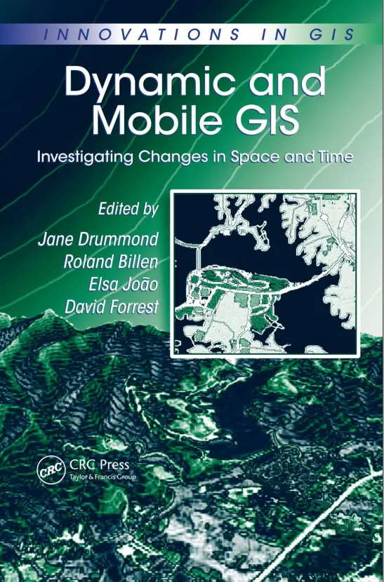
Dynamic and Mobile GIS - Investigating Changes in Space and Time
📱 Dynamic and Mobile GIS – Investigating Space-Time Changes in the Real World
“Dynamic and Mobile GIS: Investigating Changes in Space and Time” explores how modern Geographic Information Systems have evolved from static desktop maps into real-time, mobile-powered spatial decision tools. With the rise of GPS, IoT, 5G, and edge computing, GIS is now embedded in our phones, vehicles, and workflows — constantly updating with changing space-time data.
This book introduces advanced concepts such as spatio-temporal modeling, time-enabled datasets, mobile data collection, real-time tracking, geo-fencing, dynamic visualization, and sensor integration. It covers how GIS can handle dynamic entities like moving vehicles, shifting populations, and live infrastructure conditions with precision and responsiveness.
This book is ideal for:
- 🚓 Emergency response planners and law enforcement using live GIS data
- 🗺️ Field survey teams and mobile GIS technicians
- 🌇 Smart city engineers and urban data scientists
- 🧑💻 Developers building location-aware mobile apps and real-time dashboards
From real-time routing to live environmental monitoring, this book helps you build GIS systems that move with the world — not behind it.
Keywords: Mobile GIS, Real-Time GIS, Spatio-Temporal Analysis, Dynamic Mapping, GPS Tracking GIS, Time-Enabled GIS, Field Data Collection, Live Map Applications


comments
Leave a Reply
Your email address will not be published. Required fields are marked *