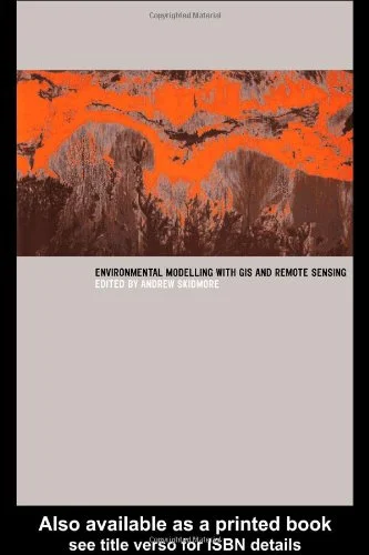
Environmental Modelling with GIS and Remote Sensing
🌿 Environmental Modelling with GIS and Remote Sensing – Mapping Earth's Processes Intelligently
“Environmental Modelling with GIS and Remote Sensing” is a powerful resource that brings together geospatial technology and environmental science to build models of natural systems. It shows how to simulate and analyze environmental processes like land degradation, deforestation, water quality, and climate change using GIS tools and satellite imagery.
This book walks you through techniques like raster-based modeling, change detection, land cover classification, hydrological simulation, terrain analysis, and vegetation indexing. It combines spatial reasoning with real-world environmental challenges, offering case studies across landscapes, ecosystems, and regions.
Ideal for:
- 🌎 Environmental scientists and ecologists using GIS/RS
- 🛰️ Remote sensing analysts working on environmental monitoring
- 🧑💻 GIS modelers building predictive environmental tools
- 🎓 Students and researchers in geosciences or sustainability studies
Whether you're modeling watershed health, mapping desertification, or analyzing climate impacts, this book provides the geospatial foundation to turn raw environmental data into actionable insight.
Keywords: Environmental GIS, Remote Sensing Models, Land Use Change, Environmental Simulation, Raster GIS, Hydrological Modeling, Ecological Mapping, Satellite-Based Analysis


comments
Leave a Reply
Your email address will not be published. Required fields are marked *