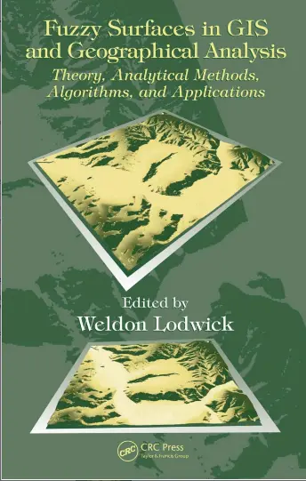
Fuzzy Surfaces in GIS and Geographical Analysis
🌫️ Fuzzy Surfaces in GIS and Geographical Analysis – Mapping the Shades of Spatial Reality
“Fuzzy Surfaces in GIS and Geographical Analysis” dives deep into the concept of uncertainty and gradation in spatial modeling. Unlike traditional GIS methods that deal with rigid boundaries and binary classifications, this book explores how fuzzy logic and fuzzy set theory can better represent the complex, continuous, and often ambiguous nature of geographic phenomena.
It introduces techniques like fuzzy membership functions, surface interpolation, uncertainty modeling, land suitability analysis, and spatial decision support under ambiguity. It also discusses how fuzzy logic integrates with raster analysis, terrain classification, and spatial reasoning models.
This book is ideal for:
- 🧠 Advanced GIS professionals modeling complex, real-world phenomena
- 🏞️ Environmental planners and ecologists dealing with gradual land transitions
- 📊 Researchers in uncertainty analysis and spatial logic
- 🎓 Graduate students studying spatial statistics or geocomputation
Whether you're defining urban boundaries, modeling habitat zones, or evaluating site suitability, this book teaches you how to move beyond binary maps — and embrace the fuzzy logic that better mirrors the real world.
Keywords: Fuzzy GIS, Spatial Uncertainty, Fuzzy Logic in GIS, Fuzzy Surfaces, Land Suitability Modeling, Fuzzy Membership Functions, Uncertain Boundaries, Raster-Based Fuzzy Analysis


comments
Leave a Reply
Your email address will not be published. Required fields are marked *