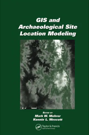
GIS and Archaeological Site Location Modeling
🏺 GIS and Archaeological Site Location Modeling – Rediscovering the Past with Spatial Intelligence
“GIS and Archaeological Site Location Modeling” explores how Geographic Information Systems (GIS) are revolutionizing the way archaeologists discover, interpret, and preserve ancient sites. Using spatial data, predictive modeling, and terrain analysis, this book demonstrates how to digitally uncover lost civilizations without lifting a single trowel.
The book covers key methodologies such as viewshed analysis, least-cost path modeling, hydrological proximity, elevation modeling, and multivariate statistical approaches for predicting the most likely locations of archaeological significance. It blends traditional field methods with modern geospatial tools to build a powerful framework for historical landscape reconstruction.
Ideal for:
- 🧭 Archaeologists and cultural heritage researchers
- 🗺️ GIS analysts working in historical or heritage sectors
- 🏛️ Students studying archaeology, anthropology, or remote sensing
- 🌄 Conservationists and planners preserving ancient landscapes
This book proves that the future of archaeology is spatial. With GIS-based models, we can better protect ancient sites, understand human-environment interaction, and decode historical settlement patterns — all before even entering the field.
Keywords: Archaeological GIS, Site Location Modeling, Predictive Modeling, Cultural Heritage Mapping, Viewshed Analysis, Ancient Landscape GIS, Remote Sensing and Archaeology, Spatial Analysis in History


comments
Leave a Reply
Your email address will not be published. Required fields are marked *