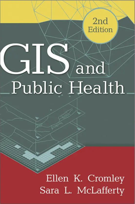
GIS and Public Health
🦠 GIS and Public Health – Mapping Disease, Risk, and Health Equity
“GIS and Public Health” explores how Geographic Information Systems are revolutionizing the field of public health by turning complex datasets into spatial insights that save lives. From tracking pandemics to improving healthcare access, GIS offers the tools to visualize, analyze, and respond to real-world health challenges.
The book covers critical applications like disease surveillance, infection hotspots, vaccination coverage, hospital accessibility, environmental exposure modeling, and health disparities across regions. With real case studies and modern mapping tools, it empowers public health professionals to make data-informed decisions that are both timely and geographically precise.
This book is ideal for:
- 🧑⚕️ Epidemiologists tracking infectious disease spread
- 🏥 Health policy makers planning equitable healthcare infrastructure
- 🗺️ GIS analysts working in emergency preparedness and environmental health
- 🎓 Students and researchers studying spatial health patterns and risk mapping
From local clinics to global pandemic dashboards, this book helps you harness the power of GIS to improve population health and shape a healthier future through spatial understanding.
Keywords: GIS Public Health, Health Mapping, Disease Surveillance GIS, Spatial Epidemiology, Health Equity, Vaccination GIS, Environmental Exposure, Healthcare Access Mapping


comments
Leave a Reply
Your email address will not be published. Required fields are marked *