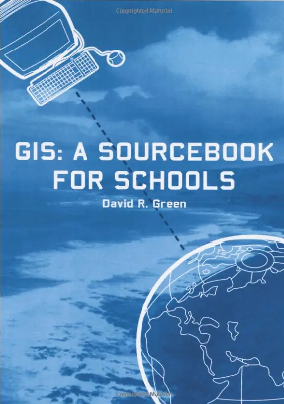
GIS: A Sourcebook for Schools
🎒 GIS: A Sourcebook for Schools – Bringing Spatial Thinking to the Classroom
“GIS: A Sourcebook for Schools” is a beautifully crafted introduction to Geographic Information Systems tailored for young learners and educators. Designed with clarity and curiosity in mind, this book opens up the world of mapping, spatial analysis, and geographic thinking to school students of all levels.
It presents core GIS concepts through student-friendly language, classroom activities, real-world case studies, and hands-on projects that align with subjects like geography, science, history, and environmental studies. With visual examples and easy-to-follow guides, it empowers both teachers and students to use GIS as a tool for exploration and problem-solving.
This book is perfect for:
- 📚 School teachers introducing maps and spatial concepts
- 👩🏫 Educators designing interdisciplinary GIS projects
- 🧠 Students curious about geography, tech, and data
- 🏫 Schools looking to modernize their curriculum with real-world tools
From mapping local ecosystems to exploring global trends, this sourcebook helps make GIS accessible, engaging, and fun — turning classrooms into launchpads for future geographers and data scientists.
Keywords: GIS for Schools, Educational GIS, School Geography Tools, GIS Projects for Students, Teaching Spatial Thinking, Classroom Mapping Activities, GIS Curriculum Guide


comments
Leave a Reply
Your email address will not be published. Required fields are marked *