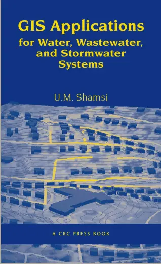
GIS Applications for Water, Wastewater, and Stormwater Systems
"GIS Applications for Water, Wastewater, and Stormwater Systems" by U.M. Shamsi is a comprehensive guide that explores the use of Geographic Information Systems (GIS) in the management of water, wastewater, and stormwater systems. The book is divided into multiple chapters, each covering specific aspects of GIS applications in the water industry.
Chapter 1 provides an introduction to GIS applications, discussing the history and advantages of using GIS technology. It highlights how GIS applications can save time and money, integrate different data sources, and provide decision support tools for effective communication.
Chapter 2 focuses on the needs analysis process, explaining the steps involved in identifying stakeholder requirements, resource inventory, system design, and implementation planning. It also provides examples of needs analysis from various cities and counties.
Chapter 3 explores remote sensing applications in water management, including the use of satellite data for spatial resolution and high-resolution imagery applications. It discusses data sources such as digital orthophotos and their role in remote sensing applications. The chapter also highlights examples of remote sensing applications, such as land use and soil moisture mapping.
Chapter 4 delves into the use of Digital Elevation Models (DEM) in water management. It explains DEM basics, including resolution and accuracy, and discusses the availability of DEM data. The chapter showcases case studies and examples of DEM applications, such as watershed and sewershed delineation, as well as water distribution system modeling.
Chapter 5 focuses on Global Positioning System (GPS) applications in the water industry. It covers GPS basics, surveying techniques, and fleet management. The chapter also explores how GPS integrates with GIS and discusses different GPS equipment types.
Chapter 6 discusses internet applications in GIS, including internet security and software used in internet GIS applications. It showcases case studies of internet GIS implementation, such as Dublin's Web Map and Montana's Watershed Data Information Management System.
Chapter 7 explores the use of mobile GIS technology in water management. It covers the basics of mobile GIS, mobile GIS applications, and wireless internet technology. The chapter highlights the integration of GPS with mobile GIS and provides useful web resources.
Chapter 8 focuses on mapping in GIS, explaining map types, topology, projections, and data quality. It discusses the advantages of GIS maps and provides a step-by-step guide to GIS mapping. The chapter includes case studies of mapping applications in different cities and counties.
Chapter 9 delves into mapping applications in water systems, covering common mapping functions such as thematic mapping and spatial analysis. It showcases examples of water system mapping applications, including water system mapping projects and service shutoff applications.
Chapter 10 explores monitoring applications in water management, discussing real-time rainfall and stream-flow data monitoring. It covers different rainfall data sources, such as satellite and radar data, and explains their estimation using GIS. The chapter also explores flow monitoring applications, SCADA integration, and infrastructure monitoring.
Chapter 11 focuses on modeling applications in water management, particularly temporal-spatial modeling. It discusses different modeling methods and software tools used in hydrologic and hydraulic modeling. The chapter includes a case study of temporal-spatial modeling in Westchester County.
Chapters 12 and 13 specifically cover water and sewer models, respectively. They discuss the development of hydraulic models, software examples such as EPANET and SWMM, and mapping the model output results. The chapters provide case studies and examples of water and sewer system modeling applications.
Chapter 14 explores AM/FM/GIS (Automated Mapping/Facilities Management/Geographic Information Systems) applications in the water industry. It discusses the basics of AM/FM/GIS systems, software examples, and their use in infrastructure management.
🚰 GIS Applications for Water, Wastewater, and Stormwater – Mapping the Lifelines of Urban Infrastructure
“GIS Applications for Water, Wastewater, and Stormwater Systems” is an essential guidebook for engineers, urban planners, and GIS professionals working in the realm of utility management. It explores how Geographic Information Systems (GIS) can revolutionize the planning, monitoring, and maintenance of water-based infrastructure networks.
Covering all three major systems — potable water supply, wastewater (sewer), and stormwater drainage — this book provides real-world examples of using GIS for pipe network analysis, hydraulic modeling, asset tracking, field inspections, and emergency response planning. With the integration of SCADA data, GPS field tools, and 3D visualization, it shows how smart water management becomes possible with smart maps.
This book is ideal for:
- 💧 Municipal water authorities and utility departments
- 🧑💻 GIS developers working with utility datasets
- 🛠️ Engineers and urban infrastructure consultants
- 🌐 Students and researchers in environmental GIS
By combining spatial analysis with system hydraulics, this book empowers decision-makers to reduce water loss, improve service delivery, and plan resilient infrastructure for growing urban demands and climate challenges.
Keywords: Water Utility GIS, Stormwater Mapping, Sewer System GIS, Hydraulic Modeling, Utility Asset Management, ArcGIS Utilities, SCADA Integration, GIS for Infrastructure


comments
Leave a Reply
Your email address will not be published. Required fields are marked *