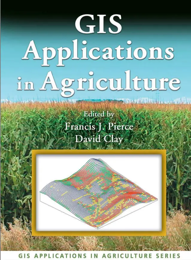
GIS Applications in Agriculture
🌾 GIS Applications in Agriculture – Revolutionizing Farming with Spatial Intelligence
“GIS Applications in Agriculture” is a comprehensive guide to how Geographic Information Systems (GIS) are transforming modern farming. This book dives deep into the ways spatial technologies are being used to increase agricultural productivity, monitor crop health, manage water resources, and ensure food security.
It highlights real-world applications, tools, and case studies that showcase how GIS, combined with remote sensing, GPS, and precision agriculture, is redefining how we grow, manage, and harvest crops.
Topics covered include:
- 🌱 Soil analysis and fertility mapping
- 🚜 Precision farming and yield forecasting
- 💧 Irrigation planning and water resource management
- 🛰️ Satellite-based crop monitoring and NDVI analysis
- 🗺️ Land-use mapping and agricultural zoning
Who should read this:
- 👨🌾 Agronomists, farmers, and agricultural engineers
- 🧪 Environmental scientists and soil experts
- 🌍 GIS professionals in rural development
- 🏛️ Policy makers working on food security and land reform
This book is a must-read for anyone interested in the future of sustainable agriculture. By integrating location-based data with crop science, GIS is helping feed the world — one pixel at a time.
Keywords: GIS in Agriculture, Precision Farming, NDVI, Soil Mapping, Irrigation GIS, Agricultural Zoning, Crop Monitoring, Remote Sensing Agriculture, Sustainable Farming GIS, GPS in Agriculture


comments
Leave a Reply
Your email address will not be published. Required fields are marked *