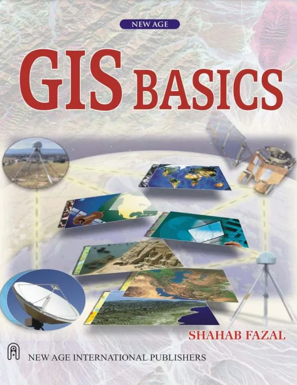
GIS Basics
🧭 GIS Basics – Your First Step into the World of Spatial Intelligence
“GIS Basics” is a perfect entry-point for anyone beginning their journey into Geographic Information Systems. It breaks down the complex geospatial universe into simple, digestible concepts – ideal for students, self-learners, and early-career professionals.
This book covers foundational GIS topics such as coordinate systems, map projections, data models (vector & raster), spatial databases, and basic analysis techniques. It explains how location data is captured, managed, analyzed, and visualized – all using real-world examples.
What You'll Learn:
- 🗺️ Understanding maps, layers, and spatial relationships
- 🧭 Coordinate systems, datums, and projections simplified
- 🧩 Vector vs Raster models – when and how to use them
- 💾 Introduction to GIS software (like QGIS, ArcGIS)
- ⚙️ Basic spatial queries and overlay analysis
Who This Book is For:
- 🎓 Students starting with GIS
- 👨💻 Developers learning geospatial basics
- 📊 Analysts entering the world of location data
- 🧑🏫 Educators needing a simple teaching tool
With clear language, illustrations, and examples, “GIS Basics” ensures you build a strong foundation before diving into advanced spatial modeling or web GIS. It’s not just a book — it’s your geospatial starter kit.
Keywords: GIS for Beginners, GIS Basics, Spatial Analysis Intro, GIS Concepts, GIS Book for Students, Learn GIS from Scratch, Geographic Information System Simplified, GIS Data Models, QGIS Beginner Guide, Coordinate Systems


comments
Leave a Reply
Your email address will not be published. Required fields are marked *