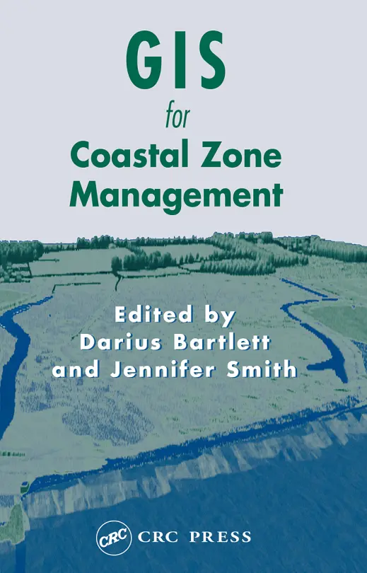
GIS for Coastal Zone Management
🌊 GIS for Coastal Zone Management – Mapping and Protecting the Edge of the Earth
“GIS for Coastal Zone Management” presents a powerful overview of how Geographic Information Systems (GIS) are used to analyze, manage, and protect coastal environments. With the rising challenges of climate change, sea level rise, erosion, and habitat degradation, coastal GIS applications are more critical than ever.
The book offers detailed case studies and methodologies covering shoreline monitoring, marine resource mapping, coastal land use planning, flood risk modeling, and integrated coastal zone management (ICZM). It combines traditional cartography with modern remote sensing and spatial modeling tools to enable sustainable decision-making for vulnerable shorelines.
This book is ideal for:
- 🌴 Coastal planners and environmental scientists
- 🛰️ Remote sensing experts tracking erosion and landform changes
- 🌐 Urban developers working in coastal regions
- 📊 Climate change researchers using GIS for impact assessment
Whether you're building a resilient waterfront city or monitoring coral reef health, this book empowers you to bring data and decisions together along the coastal edge.
Keywords: Coastal GIS, Shoreline Mapping, Marine GIS, Coastal Erosion Monitoring, Integrated Coastal Zone Management (ICZM), Sea Level Rise GIS, Coastal Flood Risk, Remote Sensing for Coastal Areas


comments
Leave a Reply
Your email address will not be published. Required fields are marked *