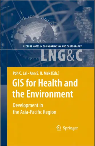
GIS for Health and the Environment
💉 GIS for Health and the Environment – Mapping What Matters Most
“GIS for Health and the Environment” is a pioneering book that explores how Geographic Information Systems (GIS) are transforming our understanding of public health and environmental challenges. It highlights how spatial data can be used to map disease patterns, track pollution exposure, plan healthcare accessibility, and study the effects of climate change on human well-being.
Bridging the gap between epidemiology, environmental science, and geospatial technology, this book presents case studies and tools for professionals tackling real-world issues like vector-borne diseases, cancer clusters, urban pollution, and vulnerable population mapping.
This book is ideal for:
- 🧑⚕️ Public health researchers and epidemiologists
- 🌿 Environmental scientists and sustainability analysts
- 🏥 Healthcare planners and NGOs
- 📊 GIS professionals working in humanitarian or urban health sectors
With GIS, health is no longer just numbers — it becomes visible, interactive, and actionable. This book is a must-read for those committed to making informed, data-driven decisions to protect people and the planet.
Keywords: Health GIS, Environmental GIS, Disease Mapping, Spatial Epidemiology, Public Health Mapping, Climate and Health, Pollution Analysis, GIS for Healthcare


comments
Leave a Reply
Your email address will not be published. Required fields are marked *