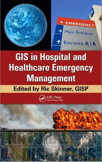
GIS in Hospital and Healthcare Emergency Management
🚑 GIS in Hospital and Healthcare Emergency Management – Mapping Crisis to Save Lives
“GIS in Hospital and Healthcare Emergency Management” offers a cutting-edge approach to using Geographic Information Systems for critical healthcare logistics, emergency preparedness, and disaster response. As health systems face mounting challenges from pandemics to climate-induced disasters, GIS provides a spatial framework to make fast, informed, and life-saving decisions.
This book explores how GIS supports hospital surge planning, ambulance routing, evacuation modeling, resource allocation, health infrastructure mapping, and spatial risk analysis. Real-world case studies highlight how hospitals and emergency managers can use geospatial tools to enhance resilience, reduce chaos, and optimize crisis response workflows.
This book is ideal for:
- 🏥 Hospital administrators managing emergency scenarios
- 🧭 Emergency response coordinators using location intelligence
- 📍 GIS analysts in public health or disaster management
- 📚 Students studying healthcare planning or crisis GIS
Whether you're managing a sudden epidemic, natural disaster, or infrastructure failure, this book equips you with GIS techniques to navigate chaos and protect lives through smart spatial strategies.
Keywords: Emergency Management GIS, Hospital GIS, Healthcare Mapping, Disaster Response Planning, Ambulance Routing, Spatial Risk Analysis, GIS for Health Crises, Medical Logistics GIS


comments
Leave a Reply
Your email address will not be published. Required fields are marked *