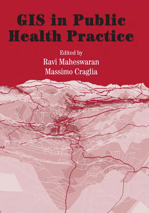
GIS in Public Health Practice
🧬 GIS in Public Health Practice – Mapping Health, Saving Lives
“GIS in Public Health Practice” is a vital resource that explores how Geographic Information Systems (GIS) are revolutionizing the field of public health. This book brings together spatial thinking and health data to identify patterns, manage resources, and shape better healthcare policies.
From tracking infectious disease outbreaks, analyzing air and water quality, locating underserved populations, to planning emergency response and optimizing hospital networks – this book offers real-world applications where GIS saves lives and improves healthcare outcomes.
Key themes explored:
- 📍 Disease surveillance and hotspot mapping
- 🏥 Health facility location and service area analysis
- 🌡️ Environmental health risk mapping
- 🚑 Emergency preparedness and response planning
- 🧭 Health equity, accessibility, and vulnerable population targeting
Perfect for:
- 🧑⚕️ Public health officials and epidemiologists
- 🌍 GIS analysts in healthcare organizations
- 🎓 Students in health informatics and spatial analysis
- 🗺️ NGOs and urban planners tackling health challenges
In today’s world, health crises are both local and global. GIS gives public health professionals the power to act smarter, faster, and more precisely — because where matters as much as what.
Keywords: GIS Public Health, Disease Mapping, Spatial Epidemiology, Health Accessibility GIS, Emergency Response Mapping, Health Equity, Environmental Health GIS, Public Health Informatics


comments
Leave a Reply
Your email address will not be published. Required fields are marked *