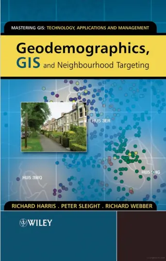
Geodemographics, GIS and Neighbourhood Targeting
"Geodemographics, GIS, and Neighbourhood Targeting" is a comprehensive book written by Richard Harris, Peter Sleight, and Richard Webber. The book explores the field of geodemographics and its applications in targeting specific neighborhoods using geographic information systems (GIS). It provides a detailed overview of the subject and covers various case studies and examples to illustrate its practical implementation.
The book begins with an introduction to geodemographics, explaining its use in various applications such as opening a coffee shop in Atlantic City, guiding neighborhood regeneration funding, and retail targeting. It also presents a short theory of geodemographics, outlining how it works. The authors present case studies that demonstrate the modeling of price sensitivity and geodemographic categories in the restaurant market and the use of geodemographics in the public sector.
The second chapter delves into the origins of geodemographics, tracing its evolution from London to Chicago and beyond. It highlights the work of early neighborhood analysts and discusses the measurement of deprivation. The following chapter explores the evolution of geodemographics and its role in the market today. It discusses the transition from census data to commercial applications and the use of non-census data. A case study focuses on the US market for geodemographics.
The book then delves into the integration of geodemographics with GIS in Chapter 4. It explains the principles of GIS and demonstrates how geodemographic information can be mapped using GIS. The authors explore spatial interaction models and provide a case study on using GIS for neighborhood analysis and targeting from a commercial perspective.
Chapter 5 focuses on geodemographic information systems and analysis. It covers data collection and input, data analysis techniques, and data visualization and output. A case study is presented, highlighting the impact of different neighborhoods on policing styles.
Chapter 6 delves into the process of building geodemographic classifications. It explains data input sources, data preparation, evaluation of input variables, weight selection, clustering, and the formation of cluster hierarchies. The authors provide a worked example of clustering and discuss labels, portraits, and visualization tools.
In Chapter 7, the authors explore geodemographics around the world. They discuss the internationalization of geodemographics, differences in census data sources, variations in the availability of non-census data, and variations in neighborhood geographies worldwide.
Chapter 8 examines the effectiveness of geodemographics. It presents arguments from both the prosecution and the defense regarding the efficacy of geodemographic approaches. Several witnesses present their examples, including the Nottingham Youth Justice Board, Shotton Paper Company plc, The University of Central Lancashire, and Camelot Group plc. The authors also present a case study on validating geodemographics using the Luton case.
Chapter 9 discusses new data and approaches in geodemographics, shifting towards geolifestyles. It explores the use of GIS to map lifestyle data, identifying hot spots, and moving from revelation to explanation. Data-handling issues are also addressed, and a case study on lifestyles analysis and new approaches is presented.
The book concludes with a postscript, summarizing the key concepts and highlighting the three "Is" in geodemographics.
"Geodemographics, GIS, and Neighbourhood Targeting" provides a comprehensive overview of the field and serves as a valuable resource for researchers, professionals, and students interested in understanding and applying geodemographics for neighborhood targeting and analysis.
comments
Leave a Reply
Your email address will not be published. Required fields are marked *