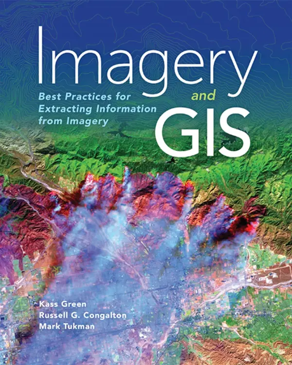
Imagery and GIS - Best Practices for Extracting Information from Imagery
🛰️ Imagery and GIS – Best Practices for Extracting Information from Imagery
“Imagery and GIS” is a definitive guide for GIS professionals and analysts who want to unlock the full potential of remote sensing and aerial imagery. This book bridges the gap between raw pixels and actionable insights, guiding readers through the entire process of acquiring, interpreting, and analyzing imagery using GIS tools.
From satellite data to drone photography, it covers best practices in image preprocessing, georeferencing, classification, change detection, and feature extraction. It also explores how imagery integrates with GIS workflows for urban planning, disaster response, land use analysis, and more.
Core Topics Include:
- 📷 Imagery sources: satellite, aerial, UAV
- 🧭 Coordinate systems and image rectification
- 🧠 Object-based image analysis and supervised classification
- 🌱 Land cover mapping and NDVI analysis
- 🌀 Real-world applications in agriculture, forestry, emergency management
Best For:
- 🧑💻 GIS analysts handling remote sensing workflows
- 📡 Earth observation professionals
- 🌍 Environmental planners and researchers
- 🎓 Students and educators in geospatial science
Whether you're processing high-res drone imagery or Sentinel-2 satellite bands, this book shows how to turn pixels into powerful spatial decisions using the synergy of imagery and GIS.
Keywords: Imagery and GIS, Remote Sensing, Raster Analysis, Satellite Image Classification, NDVI, Feature Extraction GIS, Drone Mapping, Image Processing in GIS, Geospatial Imagery, Land Cover GIS


comments
Leave a Reply
Your email address will not be published. Required fields are marked *