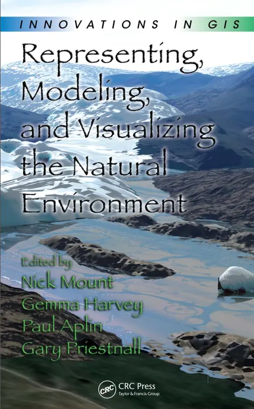
Innovations in GIS - Representing, Modeling, and Visualizing the Natural Environment
🌱 Innovations in GIS – Modeling and Visualizing the Natural Environment
“Innovations in GIS: Representing, Modeling, and Visualizing the Natural Environment” explores the cutting-edge ways GIS is being used to understand and interact with the natural world. This book focuses on how geospatial technologies have evolved to better simulate, visualize, and analyze complex environmental systems.
With contributions from leading GIS researchers and practitioners, this volume delves into topics such as terrain analysis, ecological modeling, climate change visualization, hydrological mapping, and environmental monitoring. It showcases how new GIS innovations bridge the gap between raw environmental data and actionable insight.
Key Topics Covered:
- 🌲 Landscape and terrain representation
- 💧 Hydrological and watershed modeling
- 🌡️ Climate data visualization and simulation
- 🔥 Forests, fires, and natural disaster modeling
- 🛰️ Use of remote sensing in environmental GIS
Who Should Read This?
- 🌍 Environmental scientists and geographers
- 🧪 GIS developers working on ecological or natural resource projects
- 📊 Researchers and students in environmental informatics
- 🌿 Urban planners and disaster management professionals
This book isn't just about mapping nature — it’s about understanding the Earth in all its complex, dynamic beauty through the lens of GIS. It’s a must-read for anyone passionate about sustainability, conservation, and digital geography.
Keywords: Environmental GIS, Natural Resource Mapping, Ecological Modeling, GIS Innovations, Climate Visualization, Remote Sensing, Terrain Analysis, Sustainable GIS, Environmental Monitoring, GIS and Nature


comments
Leave a Reply
Your email address will not be published. Required fields are marked *