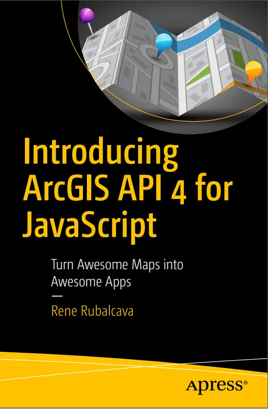
Introducing ArcGIS API 4 for JavaScript
🚀 Introducing ArcGIS API 4 for JavaScript – Build Modern Web Maps and 3D GIS Apps
“ArcGIS API 4 for JavaScript” is Esri’s powerful and modern web-mapping framework designed for building high-performance, visually-rich GIS applications. Whether you're developing 2D maps or immersive 3D scenes, this API gives you full control over layers, popups, widgets, and advanced spatial analysis – all in the browser.
With a clean architecture and modular design, ArcGIS API 4 makes it easy to create apps that integrate smoothly with ArcGIS Online, ArcGIS Enterprise, and custom REST services.
Key Features Covered:
- 🗺️ 2D & 3D map rendering using
MapViewandSceneView - 📦 Layer management: FeatureLayer, TileLayer, SceneLayer, VectorTileLayer
- 🧩 Ready-to-use UI widgets (Search, Legend, Measurement, BasemapToggle)
- 🎯 Custom popups, renderers, symbology, and smart mapping
- ⚙️ Advanced queries, spatial joins, and geometry engine utilities
Best For:
- 🌍 GIS Web Developers building interactive map portals
- 🏙️ Urban planners & analysts making 3D city models
- 🧑💻 Frontend devs looking to add powerful GIS components
- 🎓 Students and learners exploring real-world spatial apps
This API is your entry point into modern GIS application development. With support for WebGL, dynamic styling, and seamless ArcGIS platform integration, it's everything you need to build serious web maps with style.
Keywords: ArcGIS JavaScript API, ArcGIS API 4.x, Web GIS, 3D Mapping with JS, Esri Developer Tools, ArcGIS JS Tutorial, SceneView, FeatureLayer, GIS Frontend Development, Web Mapping APIs


comments
Leave a Reply
Your email address will not be published. Required fields are marked *