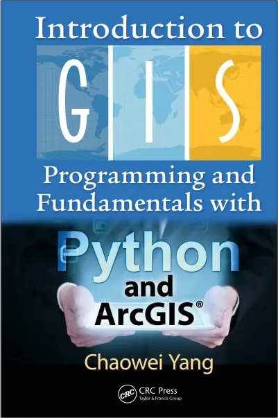
Introduction to GIS Programming and Fundamentals with Python and ArcGIS
🐍 Introduction to GIS Programming with Python and ArcGIS – Automate Your Maps and Spatial Analysis
“Introduction to GIS Programming and Fundamentals with Python and ArcGIS” is the perfect guide for those looking to bridge the gap between GIS tools and programming logic. This beginner-friendly book teaches how to use Python to automate, extend, and enhance the power of ArcGIS.
Starting from scratch, it walks you through GIS fundamentals, Python syntax, and ArcPy scripting – giving you the skills to create custom tools, automate repetitive tasks, and analyze spatial data programmatically.
What You'll Learn:
- 📚 Basics of Python programming tailored for GIS users
- 🧠 Understanding geodatabases, layers, and spatial data structures
- ⚙️ Automating map production and batch geoprocessing
- 🔄 Writing scripts with ArcPy for spatial analysis and data management
- 🛠️ Building simple GIS tools and integrating with ArcGIS Pro
Ideal For:
- 🧑💻 GIS analysts moving into scripting and automation
- 📈 Data scientists exploring spatial data workflows
- 📍 Students and researchers working with ArcGIS
- 🏢 GIS professionals aiming to boost productivity
This book is your first step into Python-powered GIS workflows — simplifying complex operations and empowering you to become a true GIS developer.
Keywords: ArcPy, Python GIS Programming, ArcGIS Automation, GIS Python Scripting, Custom GIS Tools, Spatial Analysis with Python, GIS Developer, Python ArcGIS Tutorial, Automate ArcMap, ArcGIS Pro Scripting


comments
Leave a Reply
Your email address will not be published. Required fields are marked *