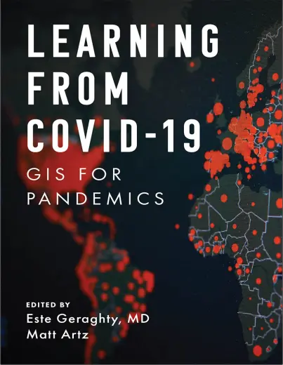
LEARNING FROM COVID-19 - GIS FOR PANDEMICS
🦠 Learning from COVID-19 – GIS for Pandemics and Public Health Resilience
“Learning from COVID-19 – GIS for Pandemics” is a timely and insightful book that explores how Geographic Information Systems (GIS) played a critical role during the global COVID-19 crisis. It showcases how spatial tools were used to map outbreaks, track transmission, allocate resources, and support data-driven public health decisions in real time.
Through case studies, dashboards, and applied techniques, this book illustrates the use of heat mapping, contact tracing, hotspot detection, mobility pattern analysis, spatial dashboards, and vaccine distribution modeling. It also highlights how GIS helped governments, health organizations, and communities understand complex spatial patterns under urgent conditions.
This book is ideal for:
- 🧑⚕️ Public health professionals using GIS for epidemiology
- 📊 Data analysts visualizing pandemic trends
- 🗺️ GIS experts working in crisis management and health systems
- 🎓 Students and researchers in health geography and spatial modeling
COVID-19 showed the world that maps save lives. This book serves as a living record of how geospatial intelligence became central to pandemic preparedness, response, and recovery.
Keywords: COVID-19 GIS, Pandemic Mapping, Public Health GIS, Spatial Epidemiology, Contact Tracing Maps, GIS for Disease Outbreaks, Coronavirus Dashboards, Vaccine Distribution GIS


comments
Leave a Reply
Your email address will not be published. Required fields are marked *