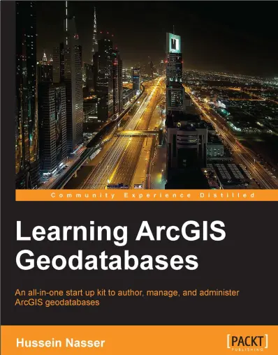
Learning ArcGIS Geodatabases
📦 Learning ArcGIS Geodatabases – Organize, Model, and Manage Spatial Data Effectively
“Learning ArcGIS Geodatabases” is a hands-on guide that introduces users to the structure, logic, and best practices of ESRI’s powerful geodatabase format. Whether you're working with ArcMap or ArcGIS Pro, this book helps you build smarter spatial datasets that go beyond simple shapefiles or flat tables.
It covers foundational concepts like feature classes, feature datasets, domains, subtypes, relationship classes, topology rules, spatial integrity, and versioned editing. Through guided exercises and real-world examples, the book shows how to model complex geographic systems — from utility networks and zoning layers to land records and environmental features.
This book is ideal for:
- 🗂️ GIS analysts and technicians working with enterprise or multi-user datasets
- 🏙️ Urban planners, engineers, and utility managers handling structured spatial information
- 🎓 Students learning GIS database design and data integrity techniques
- 🧑💻 Organizations moving from shapefiles to scalable, rule-based GIS environments
Whether you're managing parcels, infrastructure, or natural resources, this book helps you use geodatabases not just to store your data — but to control, validate, and analyze it intelligently.
Keywords: ArcGIS Geodatabase, Feature Dataset, Subtypes and Domains, GIS Data Modeling, Topology Rules, ArcGIS Pro Geodatabase, Spatial Relationships, Enterprise GIS Design


comments
Leave a Reply
Your email address will not be published. Required fields are marked *