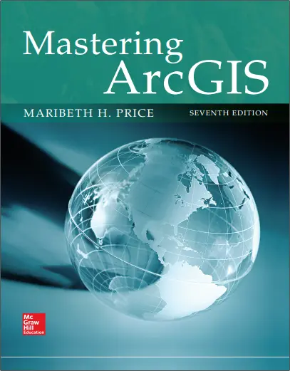
Mastering ArcGIS
"Mastering ArcGIS" by Maribeth Price, a professor at the South Dakota School of Mines and Technology, is a comprehensive guide that equips readers with the skills and knowledge needed to effectively utilize ArcGIS software for geographic information system (GIS) tasks. The book is designed for both beginners and experienced GIS professionals and covers a wide range of topics in GIS and ArcGIS.
The book begins with an introduction to GIS, including its concepts, history, and its applications. It explores the capabilities and trends in GIS and provides insights into the roles and responsibilities of GIS professionals. The author also introduces GIS project management and suggests ways to further enhance one's knowledge in the field.
The chapters delve into specific topics related to GIS and ArcGIS in a structured manner. They cover essential concepts and practical skills required for managing GIS data, including organizing data files, importing and exporting data, and working with metadata. The book also delves into coordinate systems, map design, data presentation, attribute data management, basic editing techniques, and querying data.
Readers will learn about spatial joins, map overlay, geoprocessing, and raster analysis, gaining a solid understanding of how to perform advanced spatial analysis tasks using ArcGIS tools. The book also covers editing and topology, introducing readers to techniques for maintaining data integrity and ensuring the accuracy of spatial relationships.
Furthermore, the book provides insights into geodatabases, covering their design and creation, feature datasets, domains, subtypes, and metadata. It emphasizes the importance of metadata in GIS projects, explaining the standards, format, acquisition, and management of metadata using ArcGIS.
The book offers a variety of learning resources, including review questions, tutorials, and exercises that allow readers to apply the concepts and skills learned throughout each chapter. It also includes a skills reference, a glossary, selected answers to exercises, and an index for easy navigation.
"Mastering ArcGIS" serves as a comprehensive reference for individuals seeking to enhance their proficiency in ArcGIS software and expand their capabilities in GIS. With its clear explanations, practical examples, and hands-on exercises, this book empowers readers to become skilled GIS practitioners capable of effectively utilizing ArcGIS for a wide range of spatial analysis and mapping tasks.
🧠 Mastering ArcGIS – From Beginner to Spatial Power User
“Mastering ArcGIS” is the definitive learning companion for students, professionals, and GIS enthusiasts aiming to gain expert-level command of the ArcGIS platform. Whether you're just starting out or ready to level up your geospatial skills, this book walks you through the entire ArcGIS ecosystem with clarity and depth.
Covering both ArcMap and ArcGIS Pro environments, the book provides step-by-step tutorials on map creation, spatial analysis, geoprocessing tools, 3D GIS, raster operations, geocoding, and more. It also introduces essential concepts like coordinate systems, data formats, data editing, and map layout design.
This book is ideal for:
- 🎓 University students enrolled in GIS courses
- 🧑💻 Professionals transitioning into GIS-based roles
- 📊 Analysts working in environment, urban planning, or public health
- 🗺️ Anyone aiming to build strong foundations in desktop GIS
“Mastering ArcGIS” turns complex tools into intuitive workflows. With rich illustrations, practical exercises, and real-world examples, this book empowers you to confidently use ArcGIS to solve geographic problems and deliver meaningful spatial solutions.
Keywords: ArcGIS Pro, Mastering ArcMap, Desktop GIS, GIS Tutorials, Spatial Analysis, Map Design, Geoprocessing Tools, ESRI Training Book


comments
Leave a Reply
Your email address will not be published. Required fields are marked *