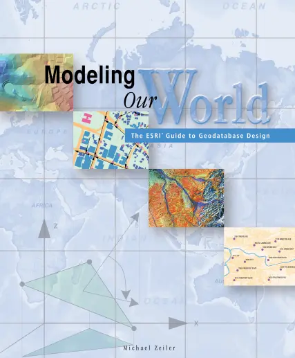
Modeling Our World: The ESRI Guide to Geodatabase Design
📘 Modeling Our World – The ESRI Guide to Geodatabase Design
“Modeling Our World: The ESRI Guide to Geodatabase Design” is a cornerstone book for anyone serious about building structured, intelligent, and scalable GIS data models using the ArcGIS platform. Written by ESRI insiders, this book lays out the principles of geodatabase thinking — where geography meets logic, and data becomes a system.
It introduces a framework for modeling real-world entities such as roads, parcels, utility networks, environmental zones, and administrative boundaries using ESRI’s object-oriented geodatabase. Readers learn about feature classes, subtypes, domains, topologies, relationships, and rules that ensure data quality and smart editing behavior.
This book is ideal for:
- 🧠 GIS architects designing enterprise geodatabases
- 🗂️ Database administrators managing spatial assets
- 🗺️ Analysts building industry-specific GIS models
- 🎓 Students learning data modeling in geography or planning
Whether you're modeling a city’s infrastructure, managing natural resources, or developing land administration systems, this book gives you the mindset and tools to build GIS that mirrors the real world — clean, efficient, and future-ready.
Keywords: Geodatabase Design, ESRI Data Modeling, ArcGIS Geodatabase, Spatial Data Architecture, Feature Classes and Domains, GIS Data Modeling, Enterprise GIS, Topology Rules


comments
Leave a Reply
Your email address will not be published. Required fields are marked *