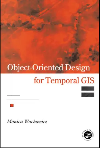
Object-Oriented Design for Temporal GIS
🕒 Object-Oriented Design for Temporal GIS – Modeling Space and Time Together
“Object-Oriented Design for Temporal GIS” presents a systematic approach to designing GIS systems that handle not just spatial data, but also temporal changes. It combines object-oriented programming (OOP) principles with temporal logic to build robust GIS architectures capable of tracking and analyzing how geographic objects evolve over time.
The book explores data modeling techniques such as temporal classes, event-driven architecture, time-stamped spatial objects, versioned databases, and spatio-temporal inheritance hierarchies. It also addresses issues in query design, time-aware visualization, change detection, and database schema optimization for dynamic GIS applications.
This book is ideal for:
- 📦 GIS developers designing time-sensitive spatial systems
- 🧠 Data architects building versioned or historical geodatabases
- 🎓 Researchers studying spatio-temporal modeling and temporal reasoning
- 🗺️ Planners, urban modelers, and environmental analysts tracking long-term change
From land parcel evolution and deforestation monitoring to infrastructure life-cycle tracking, this book helps you design GIS applications that don't just show *where* — but also *when* and *how* things change.
Keywords: Temporal GIS, Object-Oriented GIS, Spatio-Temporal Modeling, Time-Stamped Features, GIS Data Design, Change Detection, Time-Aware Geodatabases, OOP in GIS


comments
Leave a Reply
Your email address will not be published. Required fields are marked *