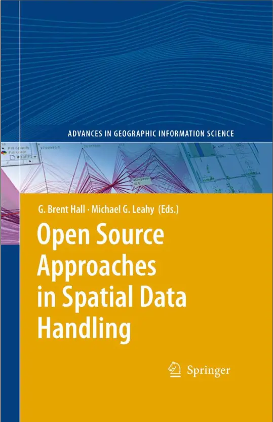
Open Source Approaches in Spatial Data Handling-Springer
🧭 Open Source Approaches in Spatial Data Handling – A Springer Classic
“Open Source Approaches in Spatial Data Handling” published by Springer, dives deep into the evolving world of free and open-source GIS tools and their impact on managing, processing, and analyzing spatial data. This book compiles international research and practical case studies that highlight the versatility, scalability, and cost-effectiveness of open-source solutions.
Covering key tools like PostGIS, GRASS GIS, GDAL, QGIS, MapServer, and OpenLayers, the book emphasizes how open-source stacks are powering both academic and enterprise-grade GIS platforms across the world.
What You’ll Learn:
- 📂 Open standards (OGC) and interoperability of spatial systems
- 🛰️ Handling vector and raster data with PostGIS and GDAL
- 🔬 Case studies of open-source GIS in urban planning, ecology, and remote sensing
- 🛠️ Performance tuning and workflow integration of open-source stacks
- 🌐 Building web GIS apps using FOSS4G tools
Ideal For:
- 🧑💻 Developers building custom spatial tools
- 🎓 Researchers and students in geoinformatics
- 🌍 Planners and analysts using budget-friendly GIS
- 🔓 Advocates of open-source technology and spatial data democratization
This book is not just technical — it’s visionary. It shows how the global geospatial community is building resilient, innovative solutions using shared tools and open collaboration.
Keywords: Open Source GIS, FOSS4G, PostGIS, QGIS, GRASS GIS, GDAL, Spatial Data Handling, Springer GIS Books, Web GIS Open Source, OpenLayers, MapServer, OGC Standards


comments
Leave a Reply
Your email address will not be published. Required fields are marked *