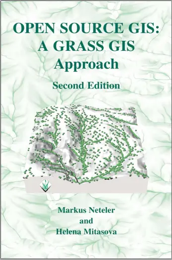
Open Source GIS: A GRASS GIS Approach (Second Edition)
🌿 Open Source GIS – A GRASS GIS Approach (Second Edition)
“Open Source GIS: A GRASS GIS Approach (Second Edition)” is a powerful guide for advanced GIS users, researchers, and developers who want full control over their geospatial data analysis using the robust capabilities of GRASS GIS. This book dives deep into the GRASS environment — one of the oldest and most powerful open-source GIS platforms still thriving in modern geospatial workflows.
From raster processing, terrain modeling, and hydrological simulation to vector editing, scripting, and 3D visualization, this book shows how to leverage GRASS GIS’s modular framework to solve complex spatial problems. It also teaches integration with other FOSS4G tools like QGIS and GDAL, giving readers a complete open-source geospatial toolkit.
This book is perfect for:
- 🧑💻 Researchers working with large geospatial datasets
- 🌐 GIS professionals focused on automation and reproducibility
- 📊 Scientists needing high-performance raster/vector operations
- 🎓 Advanced students in geoinformatics and remote sensing
Whether you're modeling flood zones or processing satellite imagery, this book empowers you to do it all — scriptable, scalable, and license-free.
Keywords: GRASS GIS, Open Source GIS, Raster Analysis, Terrain Modeling, GIS Scripting, Geospatial Command Line, FOSS4G Tools, Environmental Modeling


comments
Leave a Reply
Your email address will not be published. Required fields are marked *