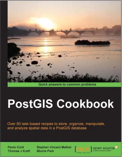
PostGIS Cookbook
🍽️ PostGIS Cookbook – Spatial Recipes for Real-World GIS Solutions
“PostGIS Cookbook” is the ultimate collection of practical and powerful recipes for anyone working with spatial data using PostgreSQL and PostGIS. Whether you're a GIS developer, database admin, or location intelligence enthusiast, this book walks you through real-world use cases with ready-to-use SQL queries and geospatial techniques.
From simple tasks like geometry creation, projection handling, and spatial joins to advanced operations like routing, clustering, raster processing, 3D analysis, and topology, this cookbook covers it all. Each chapter is packed with step-by-step instructions and examples that can be applied to urban planning, environmental monitoring, geofencing, logistics, and more.
This book is ideal for:
- 🗺️ GIS analysts working with PostgreSQL
- 🧑💻 Full-stack devs integrating spatial features
- 🌍 Data scientists exploring location analytics
- 🛰️ Researchers building spatial models and dashboards
With PostGIS Cookbook by your side, you can go from beginner to ninja-level spatial querying — all with pure SQL! Build powerful spatial services, automate workflows, and deliver enterprise-grade GIS solutions, one recipe at a time.
Keywords: PostGIS, PostgreSQL GIS, Spatial SQL, Location Intelligence, GIS Recipes, Routing, Raster Processing, Geospatial Database, ST_ functions


comments
Leave a Reply
Your email address will not be published. Required fields are marked *