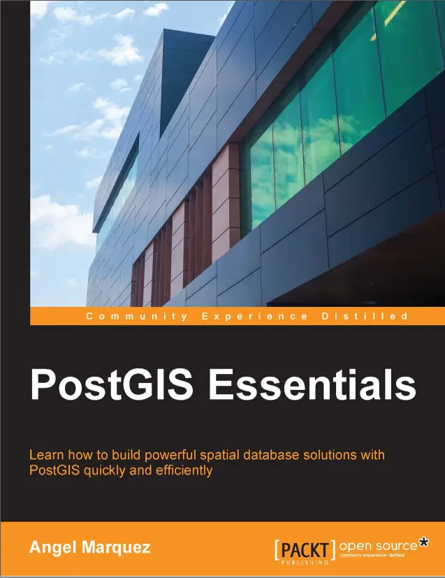
PostGIS Essentials
🗺️ PostGIS Essentials – Master the Spatial Power of PostgreSQL
“PostGIS Essentials” is your practical guide to unlocking the full potential of spatial databases using PostgreSQL. Designed for GIS professionals, developers, and data analysts, this book teaches how to store, query, and analyze geographic data using PostGIS — the powerful spatial extension of PostgreSQL.
PostGIS transforms your relational database into a true geodatabase, capable of handling everything from simple points and polygons to advanced spatial joins, topologies, and routing networks. Whether you’re working on mapping applications, spatial analysis, or location-based services, this book gives you the core tools to build scalable geospatial solutions.
What You'll Learn:
- 📍 Installing and configuring PostGIS with PostgreSQL
- 📐 Understanding geometry types: POINT, LINESTRING, POLYGON, MULTI*
- 🔍 Performing spatial queries with functions like
ST_Within,ST_Intersects, andST_Buffer - 🗃️ Indexing with GIST and optimizing spatial performance
- 🗺️ Using PostGIS with QGIS, GeoServer, and web mapping tools
Ideal For:
- 🧑💻 GIS developers and database architects
- 📊 Spatial data scientists and urban planners
- 🛰️ Remote sensing analysts integrating vector/raster workflows
- 🌐 Web map builders using Leaflet, MapLibre, or OpenLayers
If you’re ready to go beyond shapefiles and dive into true spatial SQL — this book is your launchpad into professional-level geospatial development.
Keywords: PostGIS Tutorial, PostgreSQL Spatial, Geospatial SQL, ST_Intersects Example, GIS Database, Spatial Querying, QGIS with PostGIS, Web GIS, Open Source Spatial Database, ST_Buffer, ST_DWithin, ST_AsGeoJSON


comments
Leave a Reply
Your email address will not be published. Required fields are marked *