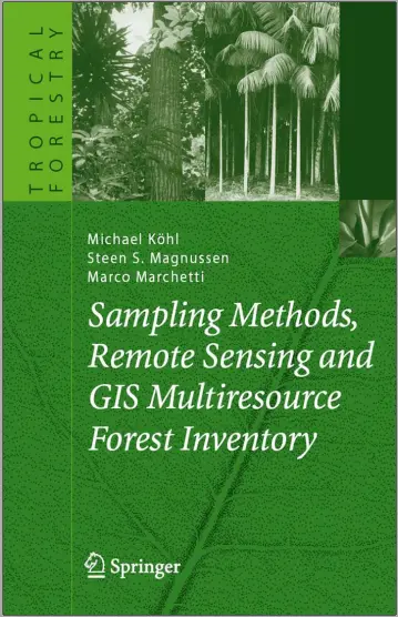
Remote Sensing and GIS Multiresource Forest Inventory
🌲 Remote Sensing and GIS for Multiresource Forest Inventory – Mapping Nature with Technology
“Remote Sensing and GIS for Multiresource Forest Inventory” is a comprehensive guide to applying geospatial technologies for modern forest management. This book dives into the advanced use of satellite imagery and GIS to monitor, assess, and inventory forest resources at regional and global scales.
With detailed methodologies, case studies, and toolkits, it helps foresters, researchers, and environmental analysts perform accurate forest inventories — from canopy density to species classification and carbon estimation.
Topics Covered:
- 🛰️ Satellite image classification for forest cover types
- 📊 Biomass estimation and carbon stock mapping
- 🌳 Tree species identification using multispectral imagery
- 📍 Integration of GPS and GIS for plot-level surveys
- 🗂️ Multiresource inventory design and data fusion
Ideal For:
- 🌿 Forestry departments and natural resource managers
- 🧪 Environmental scientists and ecologists
- 🧑💻 GIS analysts in conservation planning
- 🌍 Remote sensing researchers working on sustainable landscapes
This book is perfect for anyone looking to bring scientific precision to forest management using satellite data and GIS analysis. With its practical approach, it's a must-have in the environmental tech toolkit.
Keywords: Forest Inventory, Remote Sensing Forestry, GIS Forest Mapping, Multiresource Inventory, Canopy Cover Mapping, Biomass Estimation, Land Cover Classification, Forestry GIS Tools, Forest Monitoring, Satellite Imagery Forest


comments
Leave a Reply
Your email address will not be published. Required fields are marked *