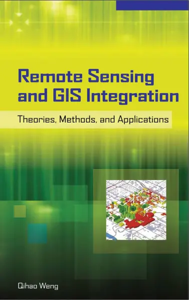
Remote Sensing And GIS Integration
🛰️ Remote Sensing and GIS Integration – A Powerful Alliance for Earth Observation
“Remote Sensing and GIS Integration” explores how satellite imagery, aerial photography, and drone data are seamlessly combined with Geographic Information Systems (GIS) to enhance spatial analysis, decision-making, and environmental monitoring. This powerful fusion bridges observation and interpretation — enabling us to map, monitor, and model the Earth like never before.
Remote sensing captures real-time or historical data from space or airborne platforms, providing rich raster datasets such as land cover, NDVI, elevation, thermal readings, and more. GIS acts as the brain — analyzing, integrating, and visualizing this data in geographic context.
Key Use Cases:
- 🌾 Land use and land cover classification
- 🌊 Flood zone mapping and disaster response
- 🏞️ Forest health and vegetation monitoring (NDVI)
- 🏙️ Urban sprawl and infrastructure planning
- 🔥 Wildfire detection and change detection analysis
Integration Techniques:
- 📡 Raster preprocessing (georeferencing, atmospheric correction)
- 🧪 Supervised and unsupervised classification in GIS
- 🗂️ Layer overlay and temporal analysis
- 📊 Image interpretation using spectral indices in GIS tools
- 🧩 Combining vector and raster data for multi-dimensional insights
This integration is critical in fields like environmental science, urban planning, agriculture, and disaster management. It transforms passive imagery into actionable intelligence — giving decision-makers a bird’s eye view with ground-level accuracy.
Keywords: Remote Sensing GIS Integration, Earth Observation, Satellite Data in GIS, NDVI Analysis, Raster and Vector Integration, Land Cover Mapping, GIS with Satellite Imagery, Remote Sensing Applications, Environmental Monitoring GIS, Change Detection in GIS


comments
Leave a Reply
Your email address will not be published. Required fields are marked *