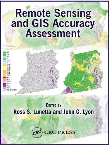
Remote Sensing and GIS Accuracy Assessment
🎯 Remote Sensing and GIS Accuracy Assessment – Ensuring Precision in Spatial Analysis
“Remote Sensing and GIS Accuracy Assessment” delivers a complete, methodological guide to evaluating the accuracy and reliability of spatial datasets. Whether you’re validating classified satellite images or assessing GPS-captured field data, this book equips you with the tools to measure confidence and minimize errors.
The book covers techniques such as confusion matrices, Kappa statistics, sampling strategies, error propagation, thematic accuracy validation, GPS point comparison, and positional accuracy standards. It emphasizes the importance of robust statistical design in the quality assurance process of any GIS or remote sensing project.
Topics covered:
- 📊 Accuracy metrics for land cover classification
- 📍 Positional vs. attribute accuracy
- 🛰️ Remote sensing error validation workflows
- 📐 Sampling design for field validation
- 💡 Interpreting Kappa and error matrix results
This book is perfect for:
- 🧑🔬 Remote sensing analysts validating classified imagery
- 🌍 GIS professionals checking digitized and modeled data
- 🎓 Students studying spatial data quality and validation
- 📏 Surveyors and data scientists ensuring data trustworthiness
In a world flooded with spatial data, this book reminds us: **if it's not accurate, it's not actionable**.
Keywords: GIS Accuracy Assessment, Remote Sensing Validation, Confusion Matrix, Kappa Statistic, Positional Accuracy, Classification Accuracy, Spatial Data Quality, GPS Accuracy Analysis


comments
Leave a Reply
Your email address will not be published. Required fields are marked *