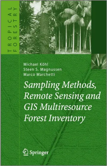
Remote Sensing and GIS Multiresource Forest Inventory
1 Forest Inventories — an Overview
2 Forest Mensuration
3 Sampling in Forest Surveys
4 Remote Sensing
5 Geographic and Forest Information Systems
6 Multiresource Forest Inventory
Preface
When we talk about forests, we talk about 30% of our planet’s land surface area. In 2000 there was an estimated 3 870×106 ha of forest worldwide, of which 5% is in forest plantations and 95% in natural1 forests (FAO 2003). Forests are not only a source of timber; they also generate significant nonwood goods and services, mitigate climate change, conserve biological diversity, provide protection from natural hazards, and not least: provide recreational areas for an increasingly urbanized world population. The availability of timber and nonwood goods and services is waning as deforestation and degradation of tropical forests continue. While forest area has stabilized or is slightly increasing in the boreal and temperate regions, the annual loss of forest area in the tropics and subtropics is decreasing. Between 1990 and 2000 the annual rate of deforestation was estimated to be 14.6×10⁶ ha (approximately 0.38%) and took place mainly in tropical and subtropical forests (FAO 2003). The net annual rate of change is about 9.4×10⁶ ha (0.2%).Maintaining and enhancing forest areas and the vitality of forest ecosystems is a widely accepted political goal, which is often opposed by conflicting demands of various stakeholders. Solutions to conflicts of this nature require actions at different scales ranging from managing the demands of local communities to resolutions of transboundary problems such as global climate change (Jackson and Ingeles 1998; Mayers and Bass 2004; Sliggers and Kakabeeke 2005). Decisions about political measures as well as local management issues will not be effective unless they rest on reliable, timely, and readily available information. Forest inventories offer a tool to provide objective and reliable information about the multiple functions of forest ecosystems and their potential to satisfy various demands.
There is always a direct relation between the quality of information available and the cost involved in obtaining it. The complexity, diversity, and wide spatial extension of forests preclude a 100% assessment in most cases. An alternative to a complete enumeration is sampling, which is the process of obtaining information by assessing only a proportion of and drawing inferences for the FAO terminology “natural” includes both managed and unmanaged forests.
This book is intended to be a primer on multi-resource forest inventories, with special reference to tropical and subtropical forests. The focus is on sustainable forest management, which requires an assessment of both the current state and changes over time. The information needs to be satisfied by forest inventories cover a wide range, which extends far beyond the forests’ productive function and timber supply. Nonwood goods and services, environmental functions – such as mitigating climate change – biodiversity, watershed protection, protective functions, or recreation are related issues.
Besides the diversity of topics, the size of the area for which information is required is to be considered when designing and implementing a forest inventory. Local assessments require different approaches from regional, national, or multinational assessments. While field assessments may be a sufficient data source for inventorying and monitoring small areas, extensive inventories for large areas may involve the combination of different data sources for reasons of cost-effectiveness. Thus, remote sensing has become a prominent tool for multiscale forest resource assessments (Franklin 2001; Wulder and Franklin 2003).
Today’s information needs about forest resource often touches on areas outside the forests as well. For example, information on the accessibility of forest areas, road network inside and outside forests, wildlife habitats at the edge of and in close proximity to a forest, and the protective function of forests. The forest is part of a larger landscape and its function and services can only be fully appreciated in an integrated multidisciplinary approach to forest inventory. The increasing availability of geo-referenced data in digital format and the widespread availability of powerful geographic information systems (GIS) have greatly facilitated this integration and paved the way for cross-cutting spatial analyses of inventory information.
The short annotation above portends to the diversity of methods and approaches needed to carry out a multi-resource forest inventory. It would be far beyond the scope of this book to give an overarching collection of available methods for forest resources assessments. Our intent is to give an introduction to and overview of basic concepts, which can be easily adapted for real-world situations.
comments
Leave a Reply
Your email address will not be published. Required fields are marked *