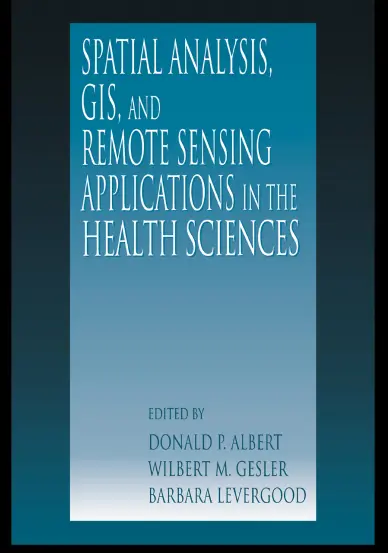
Spatial Analysis, GIS, and Remote Sensing Applications in the Health Sciences
🧬 Spatial Analysis, GIS, and Remote Sensing in Health Sciences – Mapping the Pulse of Public Health
“Spatial Analysis, GIS, and Remote Sensing Applications in the Health Sciences” explores how geospatial technologies are transforming the way we understand and respond to public health challenges. By combining spatial analysis, satellite imagery, and GIS methods, this book enables professionals to detect patterns, predict disease spread, and support decision-making for healthier communities.
With real-world case studies and cross-disciplinary insights, this book connects the dots between health data, geography, and remote sensing to develop spatially informed health interventions.
Key Topics Covered:
- 🗺️ Disease mapping and epidemiological modeling
- 📡 Using satellite data to assess environmental health risks
- 📍 Spatial clustering and hot spot detection for outbreak analysis
- 🌫️ Air pollution, water quality, and vector-borne disease studies
- 🏥 Spatial access to healthcare and facility location analysis
Best Suited For:
- 🧑⚕️ Public health professionals and epidemiologists
- 📊 Health data analysts and researchers
- 🌍 Environmental scientists and policy makers
- 🧑💻 GIS and remote sensing practitioners in healthcare
This book is an essential guide for anyone working at the intersection of geography, health, and technology. It shows how spatial thinking can save lives and shape smarter health systems through data-driven insights.
Keywords: Health GIS, Spatial Epidemiology, Remote Sensing in Healthcare, Disease Mapping, Environmental Health GIS, Public Health Analysis, Outbreak Detection, Health Surveillance, GIS in Medicine, Satellite Data for Health


comments
Leave a Reply
Your email address will not be published. Required fields are marked *