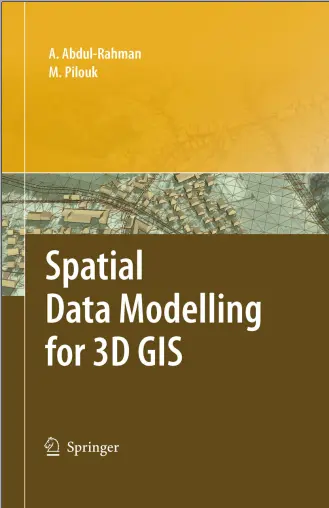
Spatial Data Modelling for 3D GIS
🧱 Spatial Data Modelling for 3D GIS – Building the Third Dimension in Spatial Analysis
“Spatial Data Modelling for 3D GIS” explores the theories, techniques, and practical approaches used to model, analyze, and visualize the world in three dimensions. This book is a must-have for professionals who are moving beyond flat maps and diving into the complexities of elevation, volume, and spatial behavior in 3D environments.
Whether you’re modeling urban landscapes, subsurface pipelines, or complex terrain, this guide helps you understand how spatial relationships evolve in 3D and how to build models that support accurate and meaningful analysis.
What’s Inside:
- 🏔️ 3D geometry types: TINs, Voxels, Multipatch, and 3D point clouds
- 📐 Spatial topology rules and constraints in 3D
- 🏙️ Urban and terrain modeling using DEMs and LIDAR
- 🧮 Data structures and interpolation techniques for 3D surfaces
- 🌍 Real-world applications in geology, architecture, and planning
Perfect For:
- 🏗️ Urban planners and city modelers
- 🧪 Geologists and environmental analysts
- 🧑💻 GIS developers creating 3D applications
- 🎓 Researchers in spatial computing and geoinformatics
This book lays the foundation for working in the third dimension — helping you model, measure, and map not just where things are, but how high, how deep, and how complex they are in 3D space.
Keywords: 3D GIS, Spatial Data Modeling, 3D Topology, TIN, Multipatch, Voxel GIS, LIDAR Terrain Modeling, 3D Urban Planning, GIS Elevation Models, Surface Interpolation, Digital Terrain Models


comments
Leave a Reply
Your email address will not be published. Required fields are marked *