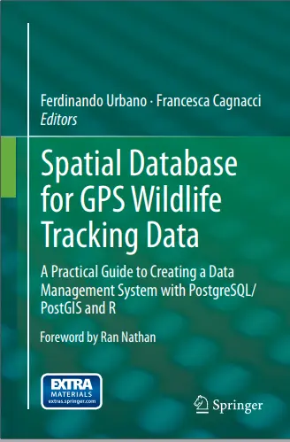
Spatial Database for GPS Wildlife Tracking Data
🦌 Spatial Database for GPS Wildlife Tracking – Managing Movement with GIS & PostGIS
“Spatial Database for GPS Wildlife Tracking Data” is a specialized guide that focuses on building robust spatial data infrastructures for managing, analyzing, and visualizing wildlife GPS movement data. Whether you're tracking elephants, wolves, or migratory birds, this book helps turn raw GPS points into meaningful ecological insight.
It introduces practical database concepts such as PostgreSQL/PostGIS setup, time-stamped geometries, spatial indexing, trajectory modeling, spatial-temporal queries, and linking collar metadata with tracking points. The book also covers techniques for movement clustering, speed/distance analysis, corridor detection, and map-based visualization using tools like QGIS or Leaflet.
This book is ideal for:
- 🧑🔬 Wildlife biologists managing GPS telemetry datasets
- 🐾 Ecologists and conservation planners modeling animal movement
- 🗃️ GIS analysts working on habitat and corridor mapping
- 🎓 Students or researchers in spatial ecology and movement analysis
From collar to query, this book helps build a spatial database system that supports not just storage — but analysis, conservation strategy, and real-time insights.
Keywords: Wildlife GPS Tracking, Spatial Database, PostGIS for Movement Data, Animal Telemetry GIS, Spatial-Temporal Data, GPS Collar Data Modeling, Wildlife Conservation GIS, Trajectory Analysis


comments
Leave a Reply
Your email address will not be published. Required fields are marked *