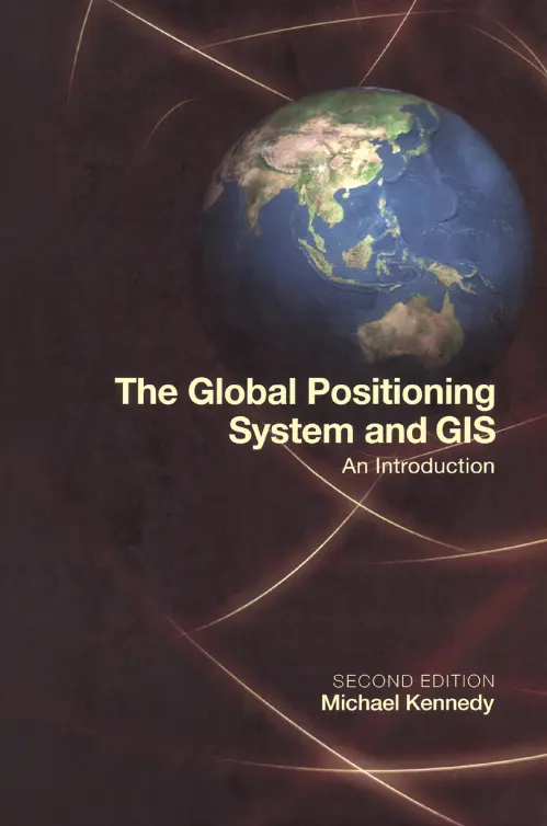
The Global Positioning System and GIS
"The Global Positioning System and GIS" by Michael Kennedy provides a comprehensive overview of the Global Positioning System (GPS) and its integration with Geographic Information Systems (GIS). The book covers various aspects of GPS technology and its applications in data collection, analysis, and mapping.
In Chapter 1, the basic concepts of GPS are introduced, including the anatomy of the Global Positioning System and the role of Earth-circling satellites, ground-based stations, and receivers. The chapter also explores the users of GPS technology and the process of determining the position of an object.
Chapter 2 focuses on automated data collection using GPS. It explains how GPS measures distance by measuring time and discusses factors that affect data collection, such as position accuracy and Dilution of Precision (DOP). The chapter provides step-by-step instructions for planning GPS data collection sessions and collecting data on foot, by bicycle, and by automobile.
Examining GPS data is the focus of Chapter 3, where readers learn how to explore and analyze GPS fixes. The chapter guides readers through projects that involve examining properties of GPS fixes, manipulating files, and using aerial photos as maps.
Differential correction, which improves GPS accuracy, is covered in Chapter 4. The chapter discusses sources of GPS errors, such as clock errors, ephemeris errors, and atmospheric errors. Step-by-step instructions are provided for differentially correcting GPS data and examining the effects of differential correction on data accuracy.
Chapter 5 explores the integration of GPS data with GIS using ESRI's ArcView and ArcData software. It explains the components of ArcView, including views, themes, and operations. Readers learn how to visualize GPS data in ArcView and perform tasks such as projecting coordinates, adding themes, and making queries.
Chapter 6 delves deeper into integrating GPS data with GIS data, covering the conversion processes for both ArcView and ArcInfo software. Step-by-step instructions are provided for bringing GPS data to ArcView and ArcInfo, creating shapefiles and coverages, and viewing GPS tracks in the context of other GIS data.
Beyond the basics, Chapter 7 discusses obtaining GIS attribute data with GPS equipment and software. It explains the organization of attribute data, the data dictionary, and features with attached attributes. Step-by-step instructions guide readers through projects that demonstrate the utilization of feature attribute data.
Chapter 8 concludes the book by exploring the present and future trends of GPS technology. It covers topics such as the modernization of the NAVSTAR GPS system, better accuracy, location-based services, precision farming, augmentation systems, and the potential impact on air, marine, and vehicle navigation.
Overall, "The Global Positioning System and GIS" provides a comprehensive guide for understanding and utilizing GPS technology in conjunction with GIS. With its detailed explanations and practical projects, the book serves as a valuable resource for students, researchers, and professionals in the field of geospatial technology.


comments
Leave a Reply
Your email address will not be published. Required fields are marked *