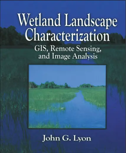
Wetland Landscape Characterization - GIS, Remote Sensing and Image Analysis
🌾 Wetland Landscape Characterization – GIS, Remote Sensing & Image Analysis for Ecological Mapping
“Wetland Landscape Characterization: GIS, Remote Sensing and Image Analysis” is a specialized guide that combines spatial technologies with ecological science to study and monitor wetland environments. The book provides practical methodologies to assess wetland extent, health, and change using modern geospatial tools.
It covers critical topics like wetland classification systems, NDWI/NDVI analysis, temporal satellite image comparison, land cover segmentation, supervised/unsupervised classification, object-based image analysis (OBIA), terrain modeling, and habitat suitability mapping. The emphasis is on using data from satellite imagery (e.g., Landsat, Sentinel), GIS overlays, and terrain derivatives for better decision-making.
This book is ideal for:
- 🌿 Environmental scientists and ecologists working on wetland conservation
- 🛰️ Remote sensing analysts and image processing professionals
- 🗺️ GIS practitioners in landscape ecology and hydrology
- 🎓 Graduate students and researchers in environmental and geospatial studies
Whether you're mapping wetland loss, modeling hydrological connectivity, or supporting environmental impact assessments, this book equips you with the tools to understand wetland landscapes from both spatial and spectral perspectives.
Keywords: Wetland Mapping, GIS Wetland Analysis, Remote Sensing of Wetlands, NDWI NDVI, Wetland Classification, Habitat Suitability GIS, OBIA Wetlands, Satellite Image Wetland Study


comments
Leave a Reply
Your email address will not be published. Required fields are marked *