Postgres-12 with PostGIS-3
🗺️ PostgreSQL 12 + PostGIS 3 – The Ultimate Spatial Database Stack
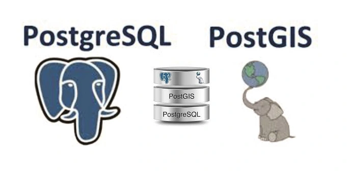
PostgreSQL 12 with PostGIS 3 is the dream combo for geospatial developers, data scientists, and GIS professionals. PostgreSQL 12 brings improved performance, parallelism, and indexing enhancements, while PostGIS 3 supercharges it with advanced spatial functions, 3D geometry, raster support, and true GIS intelligence.
This setup is ideal for spatial database management, complex GIS queries, web mapping pipelines, and real-time geolocation systems. Whether you're building smart city solutions, Hajj dashboards, or routing engines — this stack is your command center.
Core Features:
- 🚀 Improved query performance and execution plans in PostgreSQL 12
- 🌍 Full spatial support with PostGIS 3 – points, lines, polygons, rasters
- 🧠 Built-in functions for distance, area, buffer, intersects, contains, etc.
- 📏 3D and 4D geometries with
ST_3D*functions - 📦 Raster support, KNN search, and true topology layers
- 🔗 Seamless integration with GeoServer, QGIS, Leaflet, and more
Ideal For:
- 📡 Real-time tracking and routing systems (e.g., pgRouting)
- 🗺️ Web GIS platforms (with Flask, Node.js, or PHP)
- 📊 Spatial analytics for urban planning, agriculture, disaster zones
- 🌍 Serving data via vector tiles, WFS, GeoJSON, or MVT
Installation Notes:
- 🟢 Install PostgreSQL 12 from official site or package manager
- 🔧 Add PostGIS 3 via
CREATE EXTENSION postgis; - 💡 Use pgAdmin or command line for DB management
- 🗂️ Optionally install
postgis_topologyandpostgis_rasterfor advanced features
Keywords: PostgreSQL 12 with PostGIS 3, spatial database setup, GIS with PostgreSQL, install PostGIS 3, PostGIS functions list, pgRouting database, PostGIS GeoJSON output, PostGIS vector tile server, PostgreSQL GIS tutorial



comments
Leave a Comment
Your email address will not be published. Required fields are marked *