Creating a Successful GIS and Geography CV
This makes it important for one to ensure that one has a friendly CV and a set of skills that will help one secure his/her dream job as the competition stiffens more in the field of GIS and Geography. The procedures for creating a successful Curriculum Vitae will be outlined in this article in addition to the skills needed in GIS and Geography employment.
Understanding the Importance of a Tailored CV
It is impossible to send your regular CV to the GIS and Geography vacancies available in the market. The following list comprises the skills that are particularly sought after by employers in this field: For this reason, it is advisable to write a general CV while always adapting it to the specific nature of the announced vacancy.
Key Sections of a GIS and Geography CV
Contact Information:
Make sure you write your full name, phone number, and email address; it is also possible and may be advisable to indicate the LinkedIn account, however, if you do not have it, do not write about it either. Ensure that your email address is decent and not something that would elicit a "shiver down the spine" among clients customers and colleagues for that matter.
Professional Summary:
The summary of your profile which consists of your experience, skills, and objectives is written in brief at the beginning of the CV. It is advisable to start "gazing" at this from the perspective of "how I can be of solution to the employer?"
Skills:
Describe the technical skills or Proficiency concerning GIS Geography and Soft skills. Name the kind of software you are conversant with like ArcGIS, QGIS, remote sensing, tools and methodologies in which you have Adequate proficiency, and spatial analysis as well as cartography. Moreover, the following skills should also be included; communication, problem solving, and working in Teams.
Work Experience:
For each of the positions indicate the list of your work experience in chronological order. Inform them that is what you did, what you achieved and how do you incorporate GIS and Geography if that is what the position entails. As far as possible, one should strive to quantify ones accomplishments in so far as it is possible for example the number of data sets dealt with, and the part you played in altering certain project outcomes.
Education:
Share your academic experience of the degree, diploma, and certification in GIS and geography on the Internet. When listing these it should be done under the institution name, the degree achieved, and the year of graduation. Discuss any course touched in high school or college or any project that will enable you to do the job applied for.
Certifications and Training:
If available, all the qualifications you gained regarding GIS, remote sensing, or every other related discipline as the Esri Technical Certifications should be stated here. There are others as special course training, job experience, additional certification, training and professional development, etc.
Projects and Publications:
If ever you have been involved in large-scale GIS projects, or if you have papers published in Geography, then best to include your achievements in the portfolio. State the work, and what you undertook in as few words as possible.
Professional Affiliations:
Other associations may include, for example, the Association for Geographic Information (AGI) or the Urban and Regional Information Systems Association (URISA).
References:
Put it somewhere or say that copies of such can be made on request. Make sure your references are prepared to speak about your GIS and Geography skills with other people.
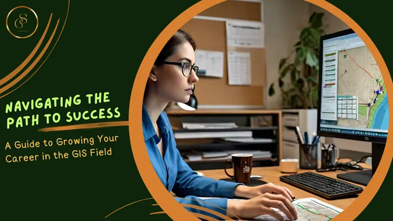
Acquiring Key Skills for GIS and Geography Jobs
However, equally, and in addition to the excellent resume, appropriate skills are emerging as the final indicators that contribute to the success of GIS and Geography candidates in their job search. Here are some key skills that employers typically look for: Here are some samples of the desired competencies by employers as follows:
Technical Skills
Proficiency in GIS Software:
However, for this task, it is useless to seek a candidate who does not have great descent abilities in GIS software like ArcGIS, QGIS, and MapInfo. Therefore, the employers request the candidates to be in a position to develop, transform, and represent space data.
Remote Sensing and Image Analysis:
A more vital guidance in the right analysis of remote sensing data such as satellite images, and aerial photographs is also emerging.
Database Management:
Knowledge in the organization of spatial data as well as spatial data accessing through SQL and other DBMS is considered vital.
Programming and Scripting:
Having a feel of the programming languages say Python, R or even JavaScript is something that can help you stand out. It also requires the geospatial skills that will allow for the automation of GIS tasks and GIS tool building.
Spatial Analysis and Modeling:
One of the most important competencies is the possibility to carry out various spatial analyses and modeling in order to solve practical tasks. This includes understanding or applying spatial statistics or, geographic modeling.
Cartography and Visualization:
Making effective, clear, and unambiguous maps and visualizations is a rather important thing. Geography communication capability is sought by employers to be exhibited by the candidates they hire.
Soft Skills
Communication:
Precisely because of the utilization of GIS and Geography terminologies, general explanations targeted at occasional users are sometimes required. Effective written and oral communication also is emphasized.
Problem-Solving:
Workers in GIS are known to be tasked with the presentation of intricate spatial issues. Having strong analytical skills, as well as problem-solving abilities will become essential.
Project Management:
There are people skills as managing of GIS projects involves coordination with other people, time management, and other time-bound project deliverables.
Teamwork and Collaboration:
GIS and Geography work mainly entails sharing work with other employees who may be in other fields. It is very important to be a team player especially if the goal is to win.
Attention to Detail:
Topographic precision and consequently general accuracy in Geographic Information Systems and Geography, are paramount. Hiring managers seek individuals who can keep errors to a minimum about the data analyzed and mapping schemes.
Conclusion
Preparing an act apposite for a posted position and getting the right qualities for the GIS and Geography vacancies involve a technical method. As a result, your chances to work in a competitive environment will increase, if, on the one hand, you adjust your CV and emphasize the relevant practice experience and the peculiarities of the catches; and on the other hand, you will keep on updating technical and soft skills. By embracing these aspects, then it will be easier to secure the right job or even a promotion in the career path of GIS and Geography.
comments
Leave a Reply
Your email address will not be published. Required fields are marked *