A GIS Analyst :
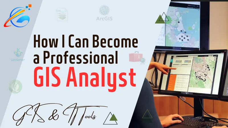
A GIS (Geographic Information System) analyst is a professional who uses GIS software and tools to collect, manage, analyze, and present geospatial data. GIS analysts work in various fields, including urban planning, environmental management, natural resource management, transportation, and public health.
They utilize their skills to develop and maintain geospatial databases, create maps, and conduct spatial analysis to solve problems and make informed decisions. The primary role of a GIS analyst is to collect geographic data and convert it into useful information that can be used in decision-making processes. They require strong technical skills, including data management, database design, and programming, as well as analytical skills to interpret complex data and develop effective solutions.
GIS analysts also require a deep understanding of geospatial concepts, such as coordinate systems, projections, and spatial analysis techniques. They are responsible for ensuring the accuracy and reliability of geographic data, which involves data cleaning, quality assurance, and quality control processes.
GIS analysts work with a range of stakeholders, including other GIS professionals, engineers, architects, environmental scientists, and policy-makers. They collaborate with these stakeholders to analyze geographic data and develop solutions to address various challenges.
The Duties of a GIS Analyst include:
1. Collecting geographic data: GIS analysts are responsible for collecting geographic data from various sources, including satellite imagery, aerial photographs, and field surveys.
2. Managing geospatial databases: GIS analysts develop and maintain geospatial databases that contain geographic data, such as maps, images, and other spatial data.
3. Analyzing geospatial data: GIS analysts use their analytical skills to analyze geospatial data and identify patterns and trends in the data. They also use statistical and spatial analysis techniques to conduct data modeling and simulations.
4. Creating maps: GIS analysts use GIS software to create maps and visualizations of geospatial data. These maps help stakeholders to understand and interpret the data more easily.
5. Providing technical support: GIS analysts provide technical support to other GIS users and stakeholders, including troubleshooting software issues, providing training and guidance, and assisting with data management.
6. Collaborating with stakeholders: GIS analysts work with other professionals, such as engineers, architects, environmental scientists, and policy-makers, to develop solutions to address various challenges.
7. Ensuring data accuracy and quality: GIS analysts are responsible for ensuring that geographic data is accurate, reliable, and up-to-date. This involves data cleaning, quality assurance, and quality control processes.
GIS analysts are responsible for collecting, managing, analyzing, and presenting geospatial data to support decision-making processes across various industries. They use their technical and analytical skills to develop and maintain geospatial databases, create maps and visualizations, and collaborate with stakeholders to address various challenges.
Steps to Become a Professional GIS analyst:
Becoming a professional GIS analyst typically requires a combination of education, experience, and skills. Here are some steps you can take to become a professional GIS analyst:
1. Obtain a relevant degree: Many GIS analysts have a degree in geography, geology, environmental science, or a related field. A bachelor's or master's degree in GIS can also be beneficial.
2. Gain experience with GIS software: Experience with GIS software is essential for becoming a GIS analyst. You can gain experience by taking GIS courses, participating in GIS-related projects, or working with GIS software in your job or internship.
3. Develop analytical skills: GIS analysts need strong analytical skills to interpret complex data and develop effective solutions. You can develop these skills by taking courses in statistics, data analysis, and computer science.
4. Build a portfolio: Create a portfolio of GIS projects you have worked on to showcase your skills and experience. Include maps, reports, and other deliverables that demonstrate your ability to collect, manage, analyze, and present geospatial data.
5. Obtain certifications: Many organizations offer GIS certifications, which can demonstrate your proficiency in GIS and make you more competitive in the job market. Examples of certifications include the GIS Professional (GISP) certification and the Esri Technical Certification.
6. Network with other GIS professionals: Attend GIS conferences, join GIS-related organizations, and participate in online forums to connect with other GIS professionals and learn about job opportunities.
Becoming a professional GIS analyst requires education, experience, and skills. Obtaining a relevant degree, gaining experience with GIS software, developing analytical skills, building a portfolio, obtaining certifications, and networking with other GIS professionals can all help you achieve your goal of becoming a professional GIS analyst.
In summary, GIS analysts play a vital role in the management of geographic information and the decision-making processes across various industries.


comments
Leave a Reply
Your email address will not be published. Required fields are marked *