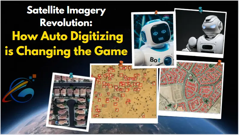
Satellite imagery is the fastest growing technology of the recent past and has revolutionized how industries and the government view and work in the world. Auto-digitizing technology is therefore right on the frontline of this revolution up because of the enhanced accurate more convenient and efficient use of satellite data. It is in this context that this article wants to discuss auto-digitizing in detail, especially with an eye on the satellite company and its function, usefulness, and possibility.
What is Auto Digitizing?
Auto digitizing refers to the process of converting map images to a form suitable for digital processing packages for one or the other use. It involves the use of machine learning, artificial intelligence (AI), and advanced algorithms in the decoding and analysis of large data relayed by satellites. One has to note that auto digitizing is not the same as the digitizing that was being done manually and which used a lot of time in the digitizing of large data sets.
Key Components of Auto Digitizing
Here are some of the attributes of auto digitizing:
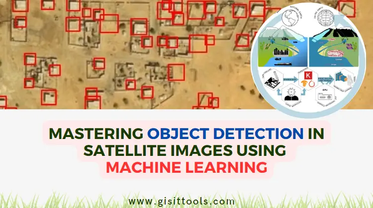
- Machine Learning Algorithms: These are trained to identify features and objects such as roads, buildings, and other natural features within satellite images.
- AI-Powered Data Analysis: Digital data can be processed extremely quickly in front of AI tools, forming new information not seen before.
- Cloud Computing: The most important feature of cloud computing is its ability to handle big data, making real-time analysis achievable.
Auto Digitized Satellite Imagery for Information Purpose
The applications of auto-digitized satellite imagery are vast and varied, spanning multiple sectors. There are many desktop applications of auto-digitized satellite imagery, and these cut across different fields:
1. Urban Planning and Development
By auto digitizing, the urban planner is able to collect accurate information about the extent of land use, development of infrastructures, and population density. Real-time data allows for precise urban planning, optimizing the use of space and capital.
2. Environmental Monitoring
Environmental agencies use auto-digitized imagery in monitoring changes in systems such as deforestation and climate change impacts. The technology can effectively identify environmental issues, making it easier to address natural disasters or cases like deforestation.
3. Agriculture
Auto digitizing allows for the monitoring of crop status, potential yields, and land management by farmers and agribusiness organizations. Satellite images, combined with artificial intelligence, can detect minor shifts in vegetation, helping predict diseases or pest outbreaks.
4. Defense and Security
In surveillance and border control, as well as disaster management, governments and military organizations use auto-digitized satellite imagery. Real-time monitoring is invaluable for national security and disaster response, providing the ability to analyze large areas quickly.
Benefits of Auto Digitizing
1. Speed and Efficiency
Auto digitizing significantly reduces the time spent on data processing and analysis. Tasks that could have taken weeks or months with manual mapping can be completed within hours or days, improving decision-making processes.
2. Increased Accuracy
Auto digitizing eliminates subjectivity in outcomes, providing more accurate results. This accuracy is crucial in areas like map production and city planning, where small errors can have significant consequences.
3. Cost-Effectiveness
Automatic processes reduce labor costs and data entry time, making satellite data more accessible to small companies and organizations that previously couldn't afford such services.
4. Scalability
Auto digitizing enables the processing of large data sets, making it suitable for tracking large projects, such as monitoring an entire country or continent. This scalability is important as the demand for satellite data continues to rise.
Challenges and Future Potential
While auto digitizing offers many advantages, it also presents some challenges. One of the main issues is the availability of high-quality training data for AI and machine learning methodologies. Privacy concerns related to satellite imagery, especially in crowded areas, are also significant.
However, there is immense potential for auto digitizing in the future. With the ongoing advancements in AI and machine learning, we can expect even greater accuracy and broader applications in areas such as disaster planning and response, wildlife preservation, and international commerce.
Conclusion
Satellite imagery, thanks to auto-digitizing technology, is one of the transformations that assist in the evolving manner we apprehend and engage the world. The applications are as diverse as urban planning to environmental monitoring, and the benefits are countless. This is an exciting technological area that will play a significant role in shaping the future, introducing innovation to address some of the world's most pressing challenges.
Auto digitizing is not simply a new mode of operation; it is a phenomenon predicted to transform industries and businesses globally. With this technology, we can boldly advance into a future where decisions are made more quickly, accurately, and efficiently, all thanks to the availability of big data.


comments
Leave a Reply
Your email address will not be published. Required fields are marked *